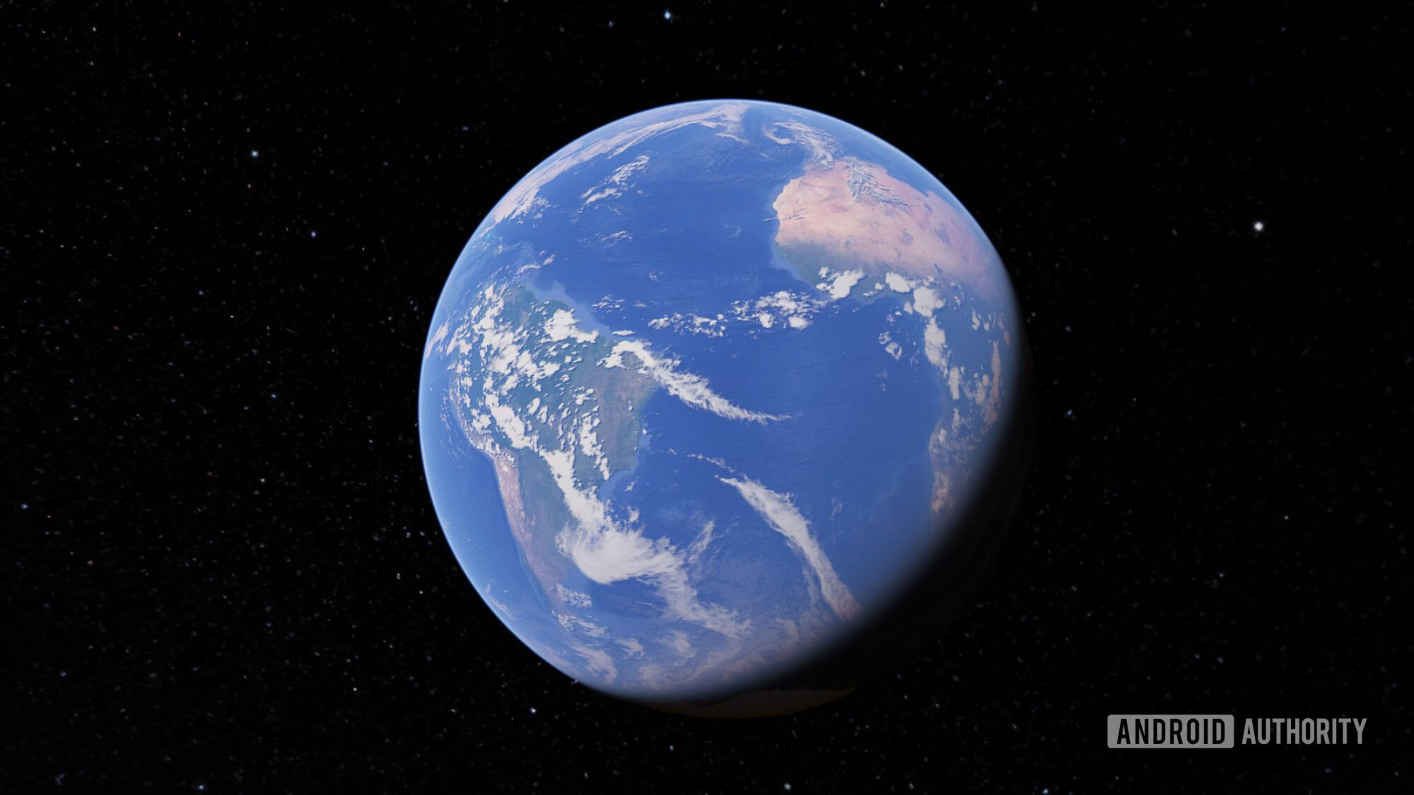
Shimul Sood / Android AuthorityTL;DR Google Earth now uses Gemini’s Nano Banana 2 to generate AI images based on real-world locations using satellite, aerial, and 3D map data. You can visualize ideas or learn about places by creating concept images, redesigning public spaces, or generating easy-to-read historical infographics for landmarks. The feature is rolling out globally today for Google Earth on the web, letting users turn real locations into AI-powered visual concepts with a simple text prompt. Google Earth has always been great for showing you what’s already there. Now, Google wants it to help you imagine what could be there instead.The company is bringing Gemini’s Nano Banana 2 image generation model to Google Earth on the web, letting you create AI-generated images based on real locations. Rather than typing a prompt into a blank text box and hoping the AI understands what you mean, you start with an actual place on the map. Zoom into a location, tap Create image, describe your idea, and Gemini uses Google Earth’s satellite imagery, aerial, and 3D data as the foundation for the image.For example, imagine you’re exploring a busy city square in Google Earth. You could ask Gemini to show what it might look like with more greenery, wider pedestrian walkways, outdoor seating, or seasonal decorations. Because it’s based on the real location, the concept feels much more grounded than a generic AI-generated image.The same goes for much bigger ideas. Curious whether a rooftop café would suit a nearby building? Want to see how a public square might look during the holidays? You’re obviously not getting construction plans here, but you are getting a quick visual mock-up that can help turn an idea into something tangible.The feature isn’t just about redesigning places, either. It can also make exploring them a lot more engaging. Say you’re looking at the Statue of Liberty, the Colosseum, or the Eiffel Tower in Google Earth. Instead of jumping between websites to learn about their history, you can ask Gemini to generate a simple visual explainer with key facts, important dates, or historical highlights. Within seconds, it creates an easy-to-read infographic that’s much quicker to digest than pages of text.Of course, this isn’t a feature you’ll use every day, but that’s not really the point. This feature adds a creative layer to Google Earth that wasn’t there before. Instead of only showing you the world as it is, it now lets you imagine what it could become.Image generation powered by Nano Banana 2 starts rolling out globally today for Google Earth on the web. Once it reaches your account, all you need to do is pick a location and start imagining what it could become.Thank you for being part of our community. Read our Comment Policy before posting.
This new Google Earth feature will change how you explore the world
Full Article
Original Source
Read the full article at Androidauthority →KhanList aggregates and links to publicly available news content. We do not host full articles from third-party sources. Always verify important information with original sources.