
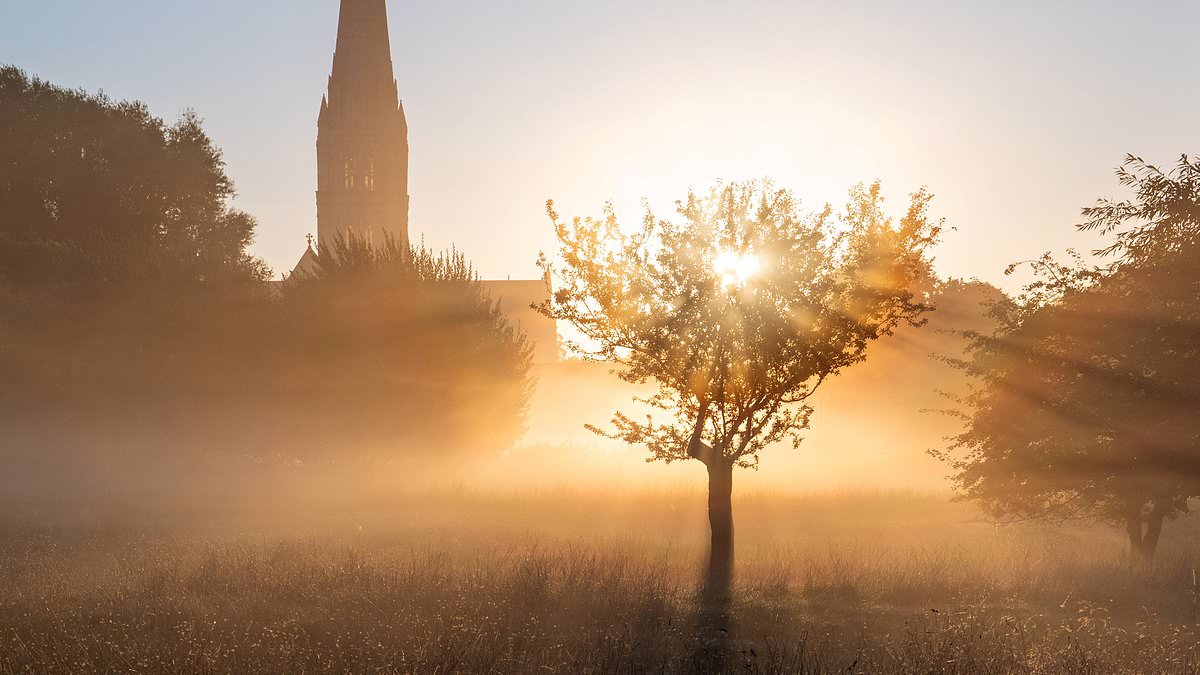
Parts of Britain could swelter through a sixth and final heatwave of the year next week with temperatures soaring to 29C, forecasters revealed today.Southern England faces the warmest weather with temperatures set to climb into the mid to high-20s by the middle of the week and upper-20s by the end.The Met Office said conditions would be 'notably warm for late September' and 'offer a final taste of summer before autumn becomes more firmly established'.It comes after the UK experienced five widespread heatwaves during late spring and summer and prolonged dry weather that has put huge strain on water supplies.The past few weeks have been unsettled with period of rain interspersed with sunny spells, but a change to warmer will begin with developments over the Atlantic.A deep area of low pressure is expected to form well to the west of the UK, which is expected to drag warmer air up from the continent and sub-tropical Atlantic.High pressure will then build across the UK alongside this warmer air from the end of this weekend, with settled conditions developing as temperatures climb day by day.The highest temperatures are most likely across southern parts, where 'current forecasts suggest highs could reach the upper 20Cs by the end of next week'. Salisbury is shrouded in early mist this morning before warmer conditions build next week A beautiful autumn day on the River Thames at Caversham in Berkshire this afternoonMeteorologists said confidence is lower further north, but much of the UK is likely to see a period of warmer-than-average weather with high pressure in control.The Met Office says a heatwave is defined as three consecutive days with daily maximum temperatures meeting or exceeding the heatwave temperature threshold.The threshold varies across the UK - between 25C across Scotland, Northern Ireland, Wales and South West England, and 28C in London and its surrounding counties.Forecasters are unsure whether thresholds will be met, but said the 'prospect of one final heatwave before the end of the month is certainly not out of the question'.It comes after an exceptional summer that saw hosepipe bans activated for 30million people and drought declared for nearly three-quarters of England and all of Wales.By July 25, the UK had already recorded more days above 30C than during the whole of summer 1976, when the temperature exceeded that level on 22 days.By the end of this summer, the total had reached 33 days. Temperatures also reached 35C during May, June, July and August - the first time this has occurred.The UK's average summer temperature was 16.5C, which was 1.9C above the long-term average and surpassed the previous record set in 2025. England and Wales also recorded their warmest summers by mean temperature – while the extreme heat was accompanied by exceptionally dry conditions.Environment Agency officials said today that the UK will need above-average rainfall over the next seven months for all areas to move out of drought by spring. How drought and hosepipe bans are still affecting England AREAS IN DROUGHTEast AngliaHertfordshire and North LondonThamesDevon, Cornwall and Isles of ScillyWest MidlandsWessexKent and South LondonSolent and South DownsEast MidlandsLincolnshire and NorthamptonshireHOSEPIPE BANSAffinity Water – Central and East regions, covering Bedfordshire, Berkshire, Buckinghamshire, Hertfordshire, Surrey, and parts of London and EssexAnglian Water – whole area, excluding HartlepoolBristol Water – whole areaCambridge Water – whole areaEssex and Suffolk Water – whole areaSouthern Water – Hampshire and the Isle of WightSouth East Water – whole areaSouth West Water – whole area, excluding BournemouthThames Water – whole areaWessex Water – whole area The Government has urged water companies to carry on water efficiency measures as the drought conditions condition, even with the recent September rainfall.It comes after the latest meeting of the National Drought Group of ministers, officials, water companies, farming leaders, anglers and conservation experts.Following yesterday's session, the panel said there were no changes in drought status for areas across England, with three-quarters of the country still in drought.The recent wetter conditions have helped rivers recover and only 15 per cent are now classed as below normal levels, officials said. However, reservoir levels are about 20 per cent lower than they should be for the time of year. Twelve out of the 31 reservoirs or reservoir groups the Environment Agency monitors are currently less than half full, while eight are classed as exceptionally low. Groundwater levels also continue to recede, with officials saying it will take months of sustained wet weather to see them fully recharged.Research from the agency showed the country will need 120 per cent of typical rainfall over the next seven months for all areas to be considered out of drought.East Anglia and Devon and Cornwall are expected to still be in drought by the start of April 2027 in the most likely weather scenario, according to the analysis.Elsewhere, the data showed roughly a one-in-four chance that about half of the country will still be in drought next spring. There is also currently about a 1 per cent chance of a severe drought in the coming months, the agency said.The El Nino global weather event is set to put the UK at greater risk of a wet, stormy autumn, which could help ease drought conditions but also lead to flooding.
Britain could be hit by SIXTH heatwave of the year next week, Met Office says as forecaster predicts temperatures could hit 29C in the South
Full Article
Original Source
Read the full article at Dailymail →KhanList aggregates and links to publicly available news content. We do not host full articles from third-party sources. Always verify important information with original sources.