
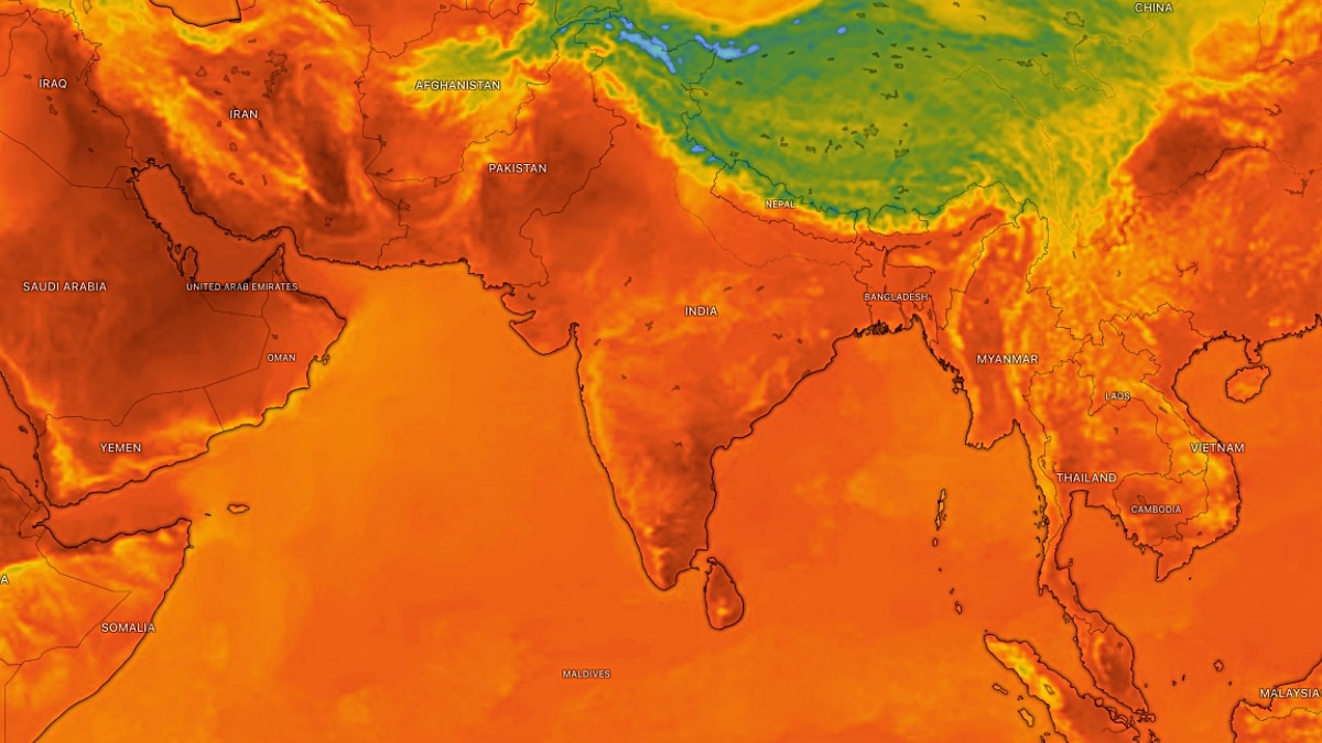
Strong northwesterly winds are set to cut off monsoon rain across North India. The shift is expected to bring clearer skies, higher daytime temperatures and a brief weather reset.The weather pattern is now expected to undergo a sharp transition. (Photo: Windy)A spell of hot, dry weather is set to take hold of large parts of North and Northwest India as strong northwesterly winds begin sweeping across the region, bringing a temporary halt to the monsoon's rain activity and clearing skies over several states.Recent satellite imagery from Monday morning showed largely clear conditions across Northwest India, Central India and much of the southern peninsula, signalling a significant change after days of widespread monsoon activity.The monsoon axis, which has remained an important driver of rainfall across northern parts of the country, has not shifted towards the Himalayan foothills. Yet, despite this, intense and isolated rainfall events have continued to occur.Bareilly in Uttar Pradesh witnessed an extraordinary spell of rain, recording 381 mm of rainfall in the 24 hours ending at 8:30 am, breaking its all-time highest monthly rainfall record, according to the weather input. However, the weather pattern is now expected to undergo a sharp transition. Strong northwesterly winds are forecast to invade North India from September 7, ushering in drier air and significantly reducing rainfall activity over a vast region. Delhi-NCR, Punjab, Haryana, Rajasthan, Madhya Pradesh, Gujarat and parts of northwest Uttar Pradesh are expected to experience almost dry and largely clear weather conditions over the next five to six days.The change could bring a striking return of crystal-clear blue skies and sharp sunshine, marking a temporary break from the persistent cloud cover and rain associated with the active monsoon phase.The intrusion of dry northwesterly winds is also likely to push daytime temperatures higher in several areas, creating hotter conditions despite September being the closing phase of the southwest monsoon season.Satellite imagery shows limited cloud development over large parts of western and central India, while more organised cloud systems remain concentrated over eastern and northeastern parts of the country.But the monsoon may not be finished yet.Weather projections indicate that the next low-pressure system could develop over the Bay of Bengal and influence weather across East, Central and North India between September 12 and September 18.If the system develops as projected, it could trigger another round of widespread rainfall and potentially mark one of the final significant monsoon rain pushes over northern parts of the country before the seasonal withdrawal gains momentum.For now, however, North India appears set for a brief weather reset, with rain clouds making way for sunshine, clear skies and strengthening hot, dry winds.- EndsPublished By: Sibu Kumar TripathiPublished On: Sep 7, 2026 10:49 IST
Monsoon to pause: Northwesterly winds to invade North India, dry days ahead
Full Article
Original Source
Read the full article at Indiatoday →KhanList aggregates and links to publicly available news content. We do not host full articles from third-party sources. Always verify important information with original sources.