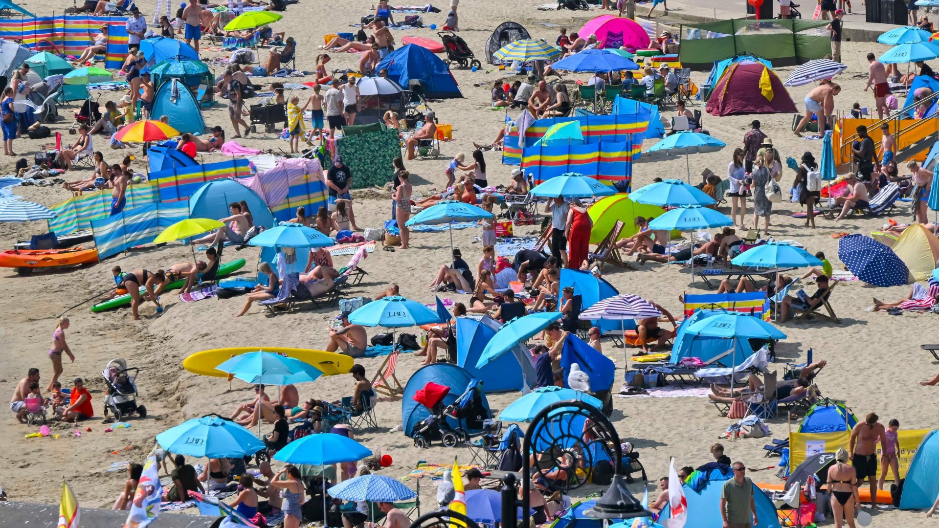
BRITS hoping for a return to sunshine won’t have to wait long, with the Met Office dropping hints that another heatwave could be on the way. While we’ll have to dodge a few showers first – and swap the hosepipe for a watering can – forecasts suggest settled, warm weather is getting ready to make a comeback. Temperatures are predicted to rise again towards the turn of the month, with the South and South East seeing warmer weather first. Credit: Alamy What is a heatwave? The Met Office uses strict criteria to officially declare a heatwave – it’s not just about a single hot afternoon. A heatwave is triggered only when a specific temperature threshold is met or exceeded for three consecutive days. Sign up for The Sun newsletter Thank you! These thresholds vary across the UK to reflect local climates. For example, London and the Home Counties have a higher bar of 28C, while parts of northern England, Wales, Scotland, and Northern Ireland have thresholds set at 25C. When was the most recent heatwave? According to the official Met Office criteria, the most recent UK heatwave began on July 4. While the temperatures obviously varied between regions, some parts of the country remained in official heatwave conditions for a full fortnight. For example, Bournemouth in Dorset surpassed its threshold temperature of 26C for the 14th consecutive day on Friday July 17. Temperatures then cooled across the UK over the weekend, bringing the third official heatwave of the summer to an end. Most read in The Sun The year’s first heatwave started on May 22, and brought a record-high temperature for the month of 35.1C, recorded in Kew Gardens, London. This was followed by a further heatwave that began on June 19, which again broke the record for the month’s hottest ever day when the temperature reached 37.7C in Lingwood, Norfolk on June 26. Is there another heatwave coming in the UK? According to the Met Office’s long-range forecast, the UK could see a return to “very warm” or even hot spells as we head into August. Looking ahead from Saturday, 25 July to Monday, 3 August, forecasters say the end of July will feature changeable weather, but high pressure – which could herald a return to higher temperatures – is waiting in the wings. The Met Office says: “As we approach the turn of the month… there are hints that high pressure could return for a time, which would mean dry conditions resuming, especially in the south.” It adds that temperatures during this period will be “near or above normal, warmest in the south, and perhaps becoming very warm again by the start of August.” Moving further into next month, from Tuesday, 4 August to Tuesday, 18 August, the outlook becomes even warmer. The Met Office says: “Higher pressure is considered generally more likely than lower pressure through August. This means settled and dry weather will likely prevail, especially across the south.” It highlights that temperatures “will very likely remain above normal, with potential for further hot spells, particularly in the south.” The average temperatures the Met Office refers to vary significantly across the UK, and you can find your own area using the interactive map here. Below is a sample of average maximum temperatures around the country for August, alongside each location’s heatwave threshold in brackets: Kew Gardens, London – 23.37C (28C) St Austell, Cornwall – 20.36C (25C) Winterborne, Birmingham – 20.97C (27C) Rochdale, Greater Manchester – 19.55C (25C) Durham – 19.87C (25C) Cardiff, Bute Park – 21.43C (26C) Edinburgh, Royal Botanic Garden – 19.07C (25C) Glasgow, Springburn – 18.6C (25C) Belfast Newforge – 19.4C (25C) How long will the current changeable weather last? If you are waiting for uninterrupted sunshine, you’ll need to push through a brief spell of unsettled weather first. Rain is set to spread southeast across most parts of the UK over the coming weekend, followed by showers and further bands of rain moving through next week. Winds will remain light to moderate, though occasionally fresh around northern coasts. But this changeable patch isn’t expected to last deep into August, with the South and South East seeing warmer weather first when temperatures are predicted to rise around the end of the month. While northern areas may still catch occasional rain or summertime thunderstorms, high pressure building from the south will bring back settled, dry, and warm conditions for the majority of the country. Where are hosepipe bans in place? Thames Water has become the latest water supplier to announce a temporary use ban (TUB) covering 10.1 million customers across London, the Thames Valley, and the Home Counties. Residents will be banned from using hosepipes to water gardens, wash cars, fill paddling pools, or top up hot tubs. The restriction formally kicks in at 12.01am on Thursday (July 23), but households are being urged to start saving water immediately. Nevil Muncaster, director of strategic water resources at Thames Water, said: “We would not be taking this step unless it was necessary to protect water supplies for everyone and the environment.” Similar bans are already in place or announced by Southern Water, South East Water, Anglian Water, Affinity Water, and Cambridge Water. It comes as the Environment Agency revealed large parts of southern, central, and eastern England have moved closer to official drought status following three heatwaves and the driest spring on record. Comment now
Is there another heatwave coming in the UK? Latest Met Office forecast and when the hot weather will return
Full Article
Original Source
Read the full article at Thesun →KhanList aggregates and links to publicly available news content. We do not host full articles from third-party sources. Always verify important information with original sources.