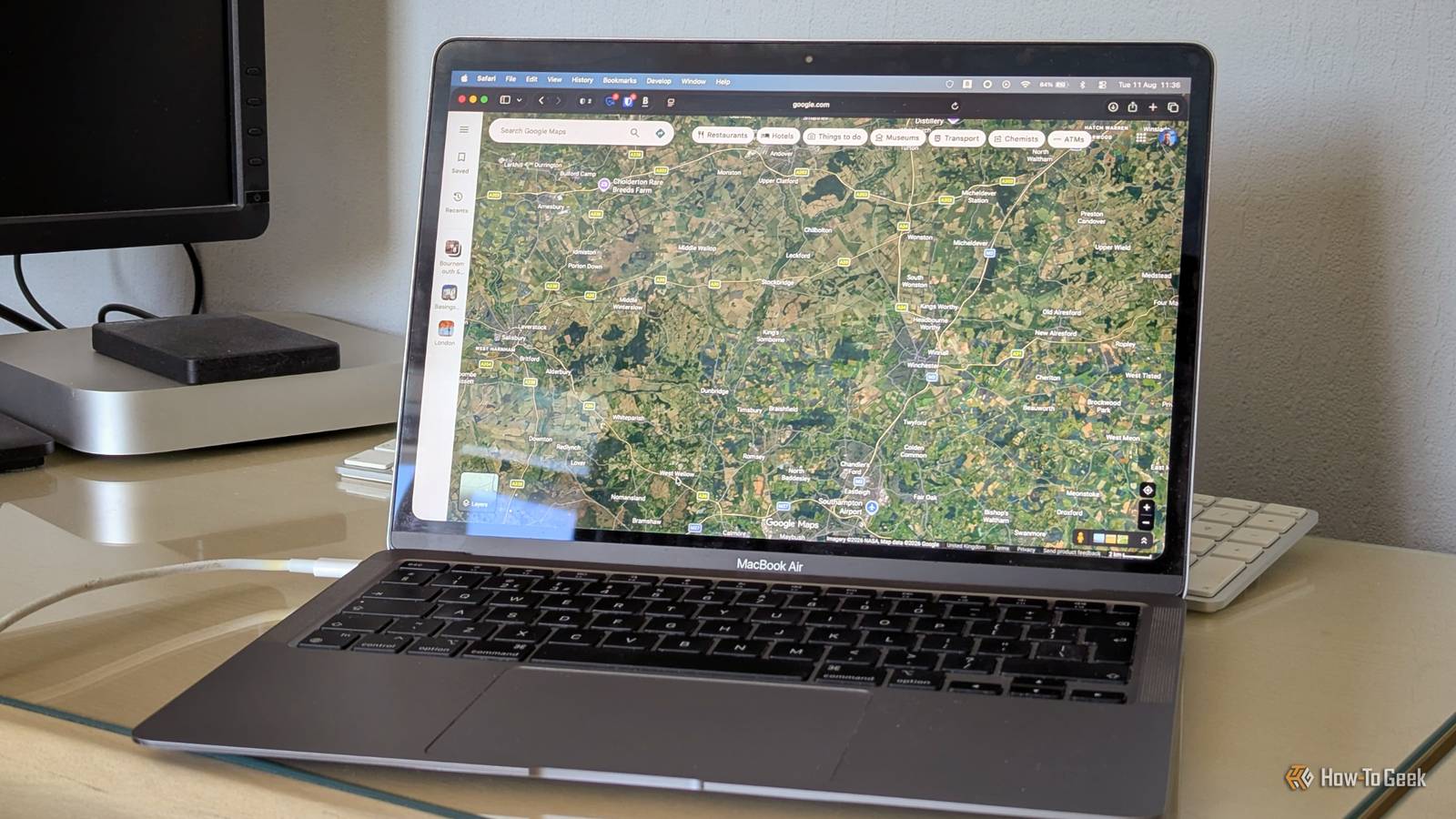
Credit: Andy Betts / How-To Geek Published Aug 15, 2026, 1:30 PM EDT Andy is a senior writer and former Mac editor at HTG. He has over 20 years experience as a consumer tech journalist, and has covered everything from the old Palm Pilots to the original iPhone and Android devices, to the latest gadgets. He has written and edited for UK-based print publications like PDA Essentials and Android Magazine, and online at sites including MUO, Android Tips and Hacks, broadband.co.uk, and Envato. He has a passion for all things mobile and has been a keen Mac enthusiast since 2005. Sign in to your How-To Geek account Google Maps feels like an app that's perfectly suited to a phone, but with its growing number of features, it's becoming increasingly cluttered. I recently switched to using my laptop whenever I wanted to plot a route in Google Maps. It turns out it's so much better. Google Maps is surprisingly fiddly on a small screen The more it adds, the more bloated it becomes Google Maps has developed a lot in recent years. It's moved away from being a simple navigation app and become more of a tool for discovering what's around you. It's great if that's what you use it for, but the accumulation of features has made the app a lot more cluttered. There are so many elements all competing for space. There are search bars, buttons, and icons all over the screen. Tapping a location often brings up a card that covers half of the map that you then have to dismiss, and it's easy to trigger this by accident. In theory, tapping a blank space on the map clears all the junk away and gives you a simple map view. But that often doesn't work, and if you tap the wrong place, it's just going to open up some more cruft to swipe away. It's so much busier than most of the alternatives, including Apple Maps or the excellent privacy-focused Magic Earth. Of course, none of this is a major problem if you're browsing a specific location. Some of that information is actually helpful. But there's a lot for a small screen. Switching to my MacBook's 13-inch display makes the app far more navigable. Some things are simply easier on a bigger screen It stands to reason that looking at Google Maps on a bigger screen lets you see much more of the surrounding area at once. When you're plotting a simple route from A to B, you can see the whole of that route easily on screen without having to zoom out too far. You can see your alternative directions and travel times, and it's trivial to send the information to your phone once you're done. For longer trips, the bigger screen is great. For research, you can search for places like restaurants or shops and save them to a dedicated list as you go. And like with most Google apps, you can access these lists on your phone as and when you need to. You can also share them easily with others if you want them to collaborate. Using a desktop browser also means you can keep other tabs open when you want to check other information. You can do this on your phone, obviously, but multitasking is always easier on a bigger device. But what I really like are the desktop-specific features. For example, when you plot a route, you can manually adjust it by clicking on a point and dragging it into a new position. This lets you create detours manually rather than trying to get Google Maps to guess exactly where you want to go. And I didn't even know about the Travel Time tool. This lets you drop a pin on the map and then see a shaded region that's within a certain walking or driving distance of that point. So you can use it to identify restaurants that are within a 15-minute walk of your hotel or find tourist attractions that are less than a 30-minute drive away from where you're staying. It's incredibly useful and makes it easy to choose a hotel based on what's nearby. Then I switch to my phone when it’s time to go My data is always in sync None of this would work if the two versions of Google Maps weren't perfectly in sync, but they are. Everything I save on my laptop is available on my phone as well. I can plot a route on my laptop and then click the button to send it to my Pixel. There's also an option to create a link and share that manually with other people. The saved places and lists that I've created are also instantly accessible on my phone. There's really no inconvenience at all. For a day trip, this might mean five minutes of planning on my laptop before I leave. For a vacation, it makes it much easier to build a more detailed itinerary across several sessions and include other people as part of the process. And whatever I use it for, the workflow is absolutely clear. I use the big screen to plan and the small screen to navigate. Don't ignore Google Maps on the desktop Google Maps is great for navigation, but it isn't the best place to plan a route and certainly isn't ideal for planning a bigger trip. The larger screen on my laptop makes the app easier to browse and explore places. And that applies whether I'm planning a once-in-a-lifetime vacation or if I just need a route for an hour-long drive later this afternoon.
I stopped planning trips on my phone and started using Google Maps on desktop—it’s way faster
Full Article
Original Source
Read the full article at Howtogeek →KhanList aggregates and links to publicly available news content. We do not host full articles from third-party sources. Always verify important information with original sources.