
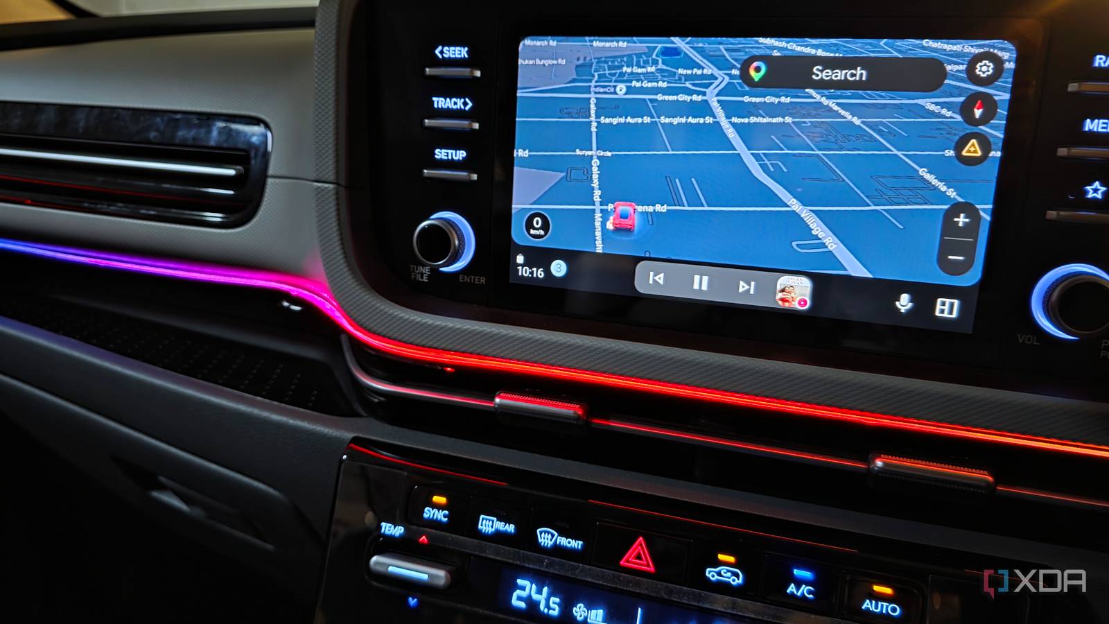
Published Oct 8, 2026, 6:00 PM EDT Parth, a seasoned tech writer, wields the keyboard (or pen) with finesse to unravel the intricacies of both Windows and Mac operating systems. He has covered evergreen content on mobile devices and computers for multiple publications over the last six years. You can find his work on AndroidPolice, GuidingTech and TechWiser. Whether it’s demystifying system updates, deciphering error codes, or exploring hidden features, Parth’s prose guides readers through the binary maze. When not immersed in tech jargon, you’ll find him sipping chai, pondering the next software review, and occasionally indulging in a friendly debate about mechanical keyboards. After driving about 10,000 miles with Google Maps on my phone and Android Auto, I have figured out which tools genuinely make a difference and which I can happily ignore. A few of my favorites are buried deep in menus, while others are right in front of you but easy to overlook. These are the Google Maps features that actually earned a permanent place in my driving routine. Add your favorite routes to the home screen Put frequent routes one tap away One Google Maps feature I rarely see people talk about is adding frequently used directions directly to the Android home screen. I use this for destinations I drive to regularly, since it saves me from opening Maps, searching for the place, tapping directions, and setting everything up again. When you start directions in Google Maps, tap the three-dot icon in the top-right corner and select Add route to Home screen. I can also set transportation mode and preferences, like avoiding tolls. Once I save it to my home screen, a single tap takes me straight into Maps with directions ready to go. I like this for places that aren’t my Home or Work address, but that I still visit often. I can keep a few of these shortcuts inside a folder, so my most common routes are ready to go. Set depart or arrive time Plan the drive before leaving home This is one of those Google Maps features I ignored for far too long. Instead of checking a route only when I am about to leave, I can tell Maps when I plan to depart or when I need to arrive. It then gives me an estimated travel time based on typical traffic conditions around that period. I use the Arrive by option more often. If I have a hotel check-in at 3pm, a meeting at noon, or an appointment across town, I enter the arrival time and let Maps work backward to show when I should leave. The Depart at option is equally useful when I am planning a trip for a few hours or even days in advance. The option is available under the same three-dot menu in Directions. Enable built-in speedometer Keep your speed in plain sight I like having Google Maps built-in speedometer enabled because it keeps one more useful piece of information right inside the navigation screen. Maps shows my current driving speed in the corner, so I don’t have to glance between the Android Auto display and the car’s instrument cluster as often. In supported areas, Maps can also show the posted speed limit, which makes the feature even more useful on unfamiliar roads. Changing the vehicle engine type actually helps Tell Maps what you actually drive Google Maps lets me specify whether I drive a petrol, diesel, hybrid, or electric vehicle, and it uses that information when suggesting fuel-efficient routes. Since I drive a petrol car, I've configured Maps accordingly. It sounds like a minor preference, but it can influence which route Maps highlights when two options have similar arrival times. While you are in the Settings > Your Vehicles menu, make sure to change the driving avatar as well. Look for routes that offer similar or slightly longer ETAs The fastest route isn’t always the best After driving thousands of miles, I rarely hit Start the moment Google Maps generates a route. Instead, I look at the alternative routes displayed alongside the recommended one. Sometimes Maps suggests one route that takes 48 minutes while another takes 52 minutes. In that situation, I inspect both before deciding. The slightly longer route might keep me on a major highway, involve fewer turns, or simply look easier to drive. I now tap each alternative route to compare it before starting navigation. Saving two or three minutes isn’t always worth taking a route that looks more complicated. Use Gemini with Google Maps Let Gemini handle Maps hands-free Gemini has made Google Maps much more useful for me because I can control several navigation functions without digging through menus. While navigating, I can ask Gemini to show alternative routes, add a stop, send my ETA to my wife on Messages, and even something specific like "Find a café near my destination." I can even ask Gemini to find a specific mall or shopping center name from my Google Keep and start navigation. I use voice controls whenever possible because they let me keep my attention where it belongs: on the road. Small tools that make driving easier After 10,000 miles with Google Maps, I have realized that the features I value most aren’t necessarily the ones Google puts front and center. Small features like these made a much bigger difference to my everyday driving than I expected. If you spend a lot of time on the road, I recommend enabling and using these Google Maps features.
I drove 10,000 miles with Google Maps, and found 6 hidden features actually worth using
Full Article
Original Source
Read the full article at Xda-developers →KhanList aggregates and links to publicly available news content. We do not host full articles from third-party sources. Always verify important information with original sources.