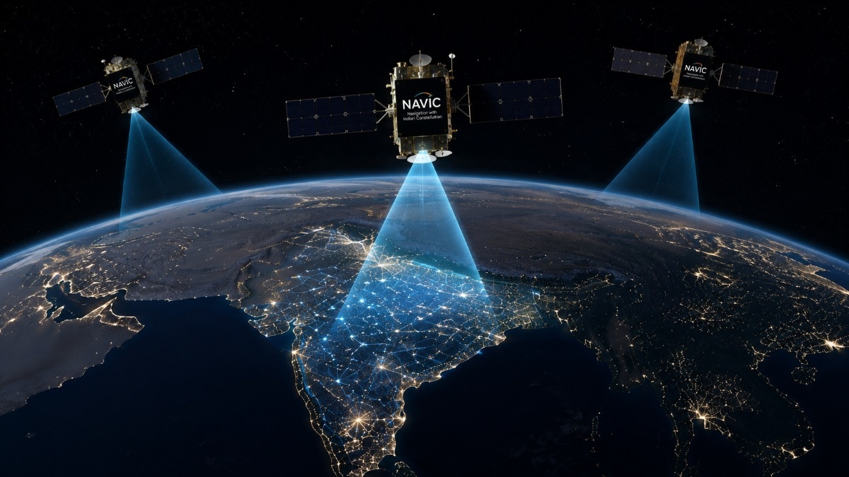
After months of speculation, the Indian government has officially confirmed that NavIC, which is India's home-grown navigation system like GPS and BeiDou, is dysfunctional at the moment. So, what happened? And how exactly GPS really works in phones? We explain.India's homegrown navigation system, NavIC, can no longer work on its own.If you have bought a phone in India in the last few years and have looked at its features, you must have noticed something called NavIC. That is because most phones sold in India in the last few years often loudly advertised that they have support for NavIC built into it. NavIC, in case you are wondering, is India’s satellite based navigation and location service, similar to GPS, which is American system, or BeiDou that is Chinese system. Similarly, Russia has Glonass. One common theme between all these systems is that they are powered by satellites. But one thing that is different between the other systems and NavIC is that currently the Indian system is dysfunctional. In fact, since its public availability in 2018 it has barely been functional. In recent months, it has become almost completely useless for public use. So far there was no official word on it. But now, Indian government has confirmed it. In a written reply in the Lok Sabha, Union Minister of State for Space Dr Jitendra Singh revealed that NavIC currently has only three operational satellites, IRNSS-1B, IRNSS-1I and NVS-01, providing Positioning, Navigation and Timing (PNT) services after IRNSS-1F completed its mission life. The minister said NavIC's timing service remains unaffected, but the system needs at least four operational satellites to provide standalone navigation. With only three satellites currently in service, NavIC cannot independently calculate a user's location. He added that ISRO's next satellite, NVS-03, is ready for launch, while NVS-04 and NVS-05 are in advanced stages of development. Once launched and operational, these satellites will again make NavIC functional. What is NavIC?NavIC, short for Navigation with Indian Constellation, is India's own GPS-like satellite navigation system developed by ISRO. It was built to reduce India's dependence on foreign navigation systems such as the US GPS, Europe's Galileo, Russia's GLONASS and China's BeiDou.The system was originally designed as a constellation of seven satellites working together in space and supported by a network of ground stations across the country. It offers navigation services for both civilian users and authorised military and strategic operations. Unlike GPS (Global Positioning System), which was developed by the US Department of Defense and provides global coverage, NavIC is designed to offer navigation services across India and up to around 1,500 km beyond its borders.The Indian satellites continuously transmit location and timing information, allowing compatible devices to calculate their position.Under normal conditions, ISRO says NavIC can pinpoint a user's location to within 20 metres and provide highly accurate timing, making it useful for everything from smartphone navigation and transport to disaster management and defence.How do GPS and NavIC actually work on phones? Be it GPS, NavIC, Galileo or BeiDou, all satellite navigation systems work on the same basic principle.Each satellite continuously broadcasts two pieces of information: where it is in space and the exact time it sent the signal. Your smartphone receives these signals and measures how long they take to arrive. Using that information, it works out how far away each satellite is.Your phone then combines signals from multiple satellites to calculate your location.Why is NavIC failing right now?Calculating your location isn't possible with signals from just one satellite. A phone needs signals from at least four satellites to accurately determine your location. That's because, unlike navigation satellites, smartphones don't have ultra-precise atomic clocks. These are extremely accurate timekeeping devices that use the natural vibrations of atoms to keep time, losing only about a second over millions of years.So, without this atomic clock, even a tiny timing error can throw a phone's calculated location off by hundreds of metres. A fourth satellite provides the extra information needed to correct that timing error and accurately determine where you are.And this is exactly where NavIC has run into trouble.The system currently has only three operational satellites providing Positioning, Navigation and Timing (PNT) services. Its last atomic clock on the IRNSS-1F satellite failed on March 13, 2026. Since at least four satellites are needed to independently calculate a user's location, NavIC can no longer independently calculate a user's location.So, why is Google Maps still working in India?Google Maps does use location information generated with the help of NavIC, but it does not rely on NavIC alone. Your phone calculates its location using signals from multiple satellite navigation systems, including GPS, Galileo, GLONASS, BeiDou and NavIC. Google Maps then uses that location to provide maps, directions and traffic information.So, even though NavIC is currently unable to provide standalone navigation, Google Maps and other navigation apps continue to work normally by using location data generated from the other available satellite networks.- EndsPublished By: Divya BhatiPublished On: Jul 30, 2026 14:40 IST
Explained: Why India's NavIC has failed for now and how GPS works in phones
Full Article
Original Source
Read the full article at Indiatoday →KhanList aggregates and links to publicly available news content. We do not host full articles from third-party sources. Always verify important information with original sources.