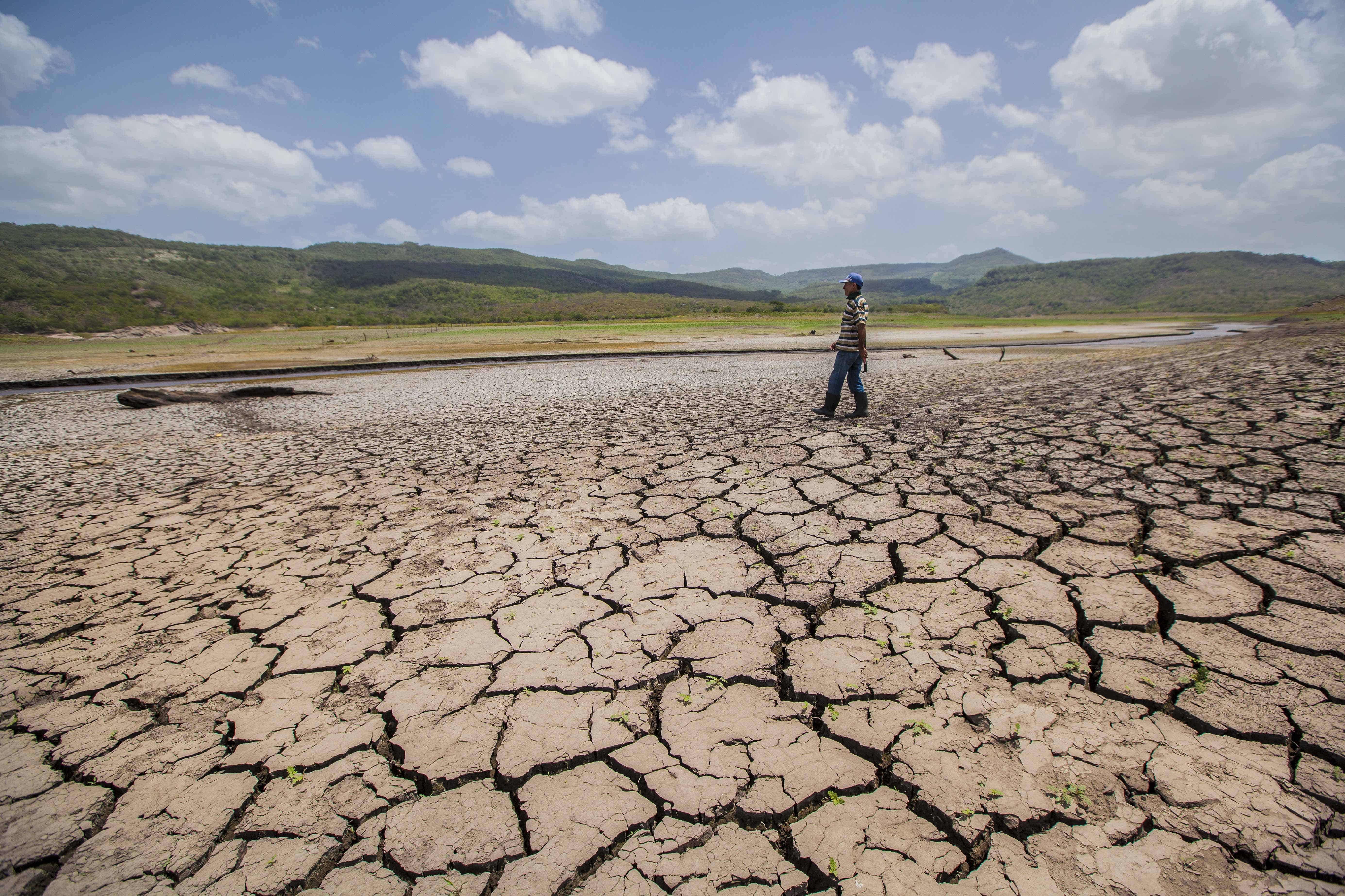
Costa Rica is experiencing two sharply different rainy seasons at once, with a growing drought across the Pacific side and Central Valley while unusually heavy rainfall affects the Caribbean. The National Meteorological Institute (IMN) has confirmed that meteorological drought now covers the entire Pacific slope, the Central Valley and the western Northern Zone, including areas around Upala, Los Chiles and Guatuso. The latest climate outlook, which runs through February 2027, offers little sign of a substantial recovery in the driest regions. El Niño is expected to remain strong through August and could reach “very strong” intensity between September and November. “This El Niño will remain strong through August, but from September through November, it is expected to intensify into a ‘very strong’ El Niño,” said Karina Hernández, a specialist with the IMN’s Climatology Unit. That classification describes the warming of the equatorial Pacific Ocean, not necessarily how severe the effects will be in Costa Rica. A strong El Niño involves ocean temperatures more than 1.5 degrees Celsius above average, while the threshold for a very strong event exceeds 2 degrees Celsius. Hernández said current measurements are already above those recorded during the 2015 El Niño event, although the warming trend has remained relatively stable during the past two months. If the event intensifies further, the final quarter of 2026 is the most likely period because El Niño typically reaches its peak toward the end of the year. The effects are already visible in Costa Rica’s rainfall totals. The Pacific North could finish August with up to 80% less rain than normal. Deficits of roughly 60% are projected for the Central Pacific, South Pacific and Central Valley, while the western Northern Zone could receive about 40% less rain. The shortfall has expanded considerably since July, when drought had been confirmed in the Central Valley, the western Northern Zone and much of the North Pacific. At that time, the IMN was still monitoring the Nicoya Peninsula, Osa Peninsula and parts of the Central Pacific. Those areas have since fallen within the broader drought zone. Meteorological drought does not mean that rain has stopped completely. Some communities may still experience downpours and thunderstorms, but isolated heavy rainfall may not be enough to compensate for months of accumulated shortages. The IMN also does not declare drought after only a few dry weeks. Its assessment requires sustained rainfall deficits across several weather stations using complete 30-year records. The conditions must persist through three consecutive moving three-month periods, representing roughly five months of deficient rainfall. As of now, the designation refers specifically to meteorological drought. If the dry pattern continues, it could eventually develop into agricultural drought, affecting soil moisture and crops. A longer and more severe shortage could later affect rivers, reservoirs, drinking-water supplies and hydroelectric generation. On the other hand, the Caribbean is facing the opposite problem. For August, rainfall is forecast to reach approximately 60% above normal in the Northern Caribbean and 40% above normal in the Southern Caribbean. The eastern Northern Zone could receive around 30% more rain than usual. From September through November, the Caribbean is expected to record about 15% more rainfall than normal. Totals in the eastern Northern Zone should remain closer to their usual range. This difference is characteristic of El Niño’s effects in Costa Rica. The phenomenon generally reduces rainfall and raises temperatures along the Pacific and in the Central Valley while directing more moisture toward the Caribbean. Temperatures are also expected to remain well above normal. The IMN projects increases of between 1.5°C and 2°C (2.7°F and 3.6°F) across the Pacific, Central Valley and western Northern Zone. The Caribbean and eastern Northern Zone could run between 0.5°C and 1°C (0.9°F and 1.8°F) above average. Costa Rica has already registered a series of heat records. Thirteen weather stations recorded historic maximum temperatures during July, followed by 14 records on August 11. Temperatures reached 37.5°C (99.5°F) in Santa Cruz and 37.2°C (99°F) at Finca La Ceiba in Nicoya. The contrasting outlook means Costa Rica must prepare for both sides of the same climate pattern: prolonged water shortages and pressure on agriculture in the Pacific, alongside a heightened risk of flooding, saturated soil and landslides in the Caribbean.
El Niño Deepens Costa Rica’s Divide Between Drought and Heavy Rain
Full Article
Original Source
Read the full article at Ticotimes →KhanList aggregates and links to publicly available news content. We do not host full articles from third-party sources. Always verify important information with original sources.