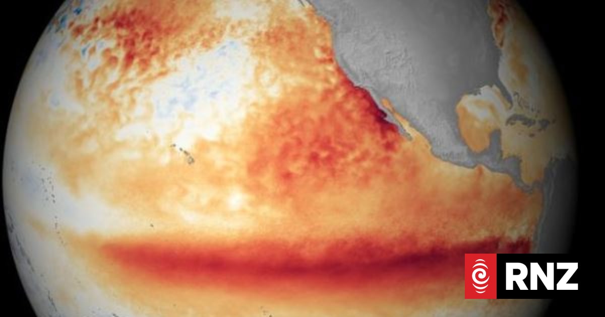
A scientist says El Niño could bring an 'highly unusual warm' spring to New Zealand.El Niño was officially declared at the start of July and could strongly influence the upcoming seasons.Earth Sciences New Zealand's chief scientist Chris Brandolino said they expect more profound and more noticeable weather conditions beyond 1 September."We're expecting to see more westerly pipe winds, so that could be maybe northwest or southwest or somewhere in between," he told RNZ."We're expecting it to become more persistent, more regular, and more intense with time."Rainfall for lower South Islands, dry spells for NorthHe said that did favour increased rainfall for the western and lower part of the South Island.Meanwhile, Brandolino said the upper North Island and many other parts of the country were at risk of dryness.He said areas such as Northland, the Coromandel, Bay of Plenty, Waikato, Auckland would most likely receive below normal rainfall."In terms of temperatures over the next three months, we think in spite of a pretty cold start to the August month, there will be some pretty chilly mornings over the next, probably four to nine days, the first week of August roughly," Brandolino said."But that won't be a theme, we think, when we look at the three-month period as a collective, as in its totality. We think temperatures are probably going to end up being somewhere between the average or even above average category for the next three months."Brandolino said the hottest temperature recorded in New Zealand was 42.4 degrees in 1973.He said that was during a "super El Niño", which is what we are experiencing now."El Niño is expected to become very strong, or so-called super El Niño in intensity. So, I'm not predicting a new national record, don't get me wrong, that's not my prediction," Brandolino said."But I'm just sort of making the linkage that when we have these westerly winds and we have El Niño, because of these westerly winds, that does cause Australia to go through these hum spells, or at least increased risk of these hot spells of weather or heat waves."When our air or our wind does come from Australia, that will bring it into New Zealand, that will happen."Weather events harder to predictBrandolino said there would be an increase in spiky temperatures.He said that could see periods of one to three days of "highly unusually warm" temperatures for September, October and beyond."That's followed up by perhaps a big sharp downturn in temperature. So, big variability, roller coaster type weather."But when our winds align, so that it's kind of plugging air from Australia, and if their air is warm, we're going to get that warm air."Brandolino said the odds particularly favoured spells of unusually warm temperatures for eastern areas of both islands.Whether or not that translates into a record or not, we'll have to wait and see, but it certainly loads the dice for those outcomes, he said.He said climate change was making it harder to use historical weather events to predict the future."Ordinarily we'd like to say we know the average outcome of El Niño, but no El Niño is average," Brandolino said."So, we know the average outcome and when you throw in climate change, that does tend to underscore that statement."I guess what I'm saying in a very concise way is that I think it's important to remember that every El Niño is different."
El Niño could bring a 'highly unusual warm' spring
Full Article
Original Source
Read the full article at Rnz →KhanList aggregates and links to publicly available news content. We do not host full articles from third-party sources. Always verify important information with original sources.