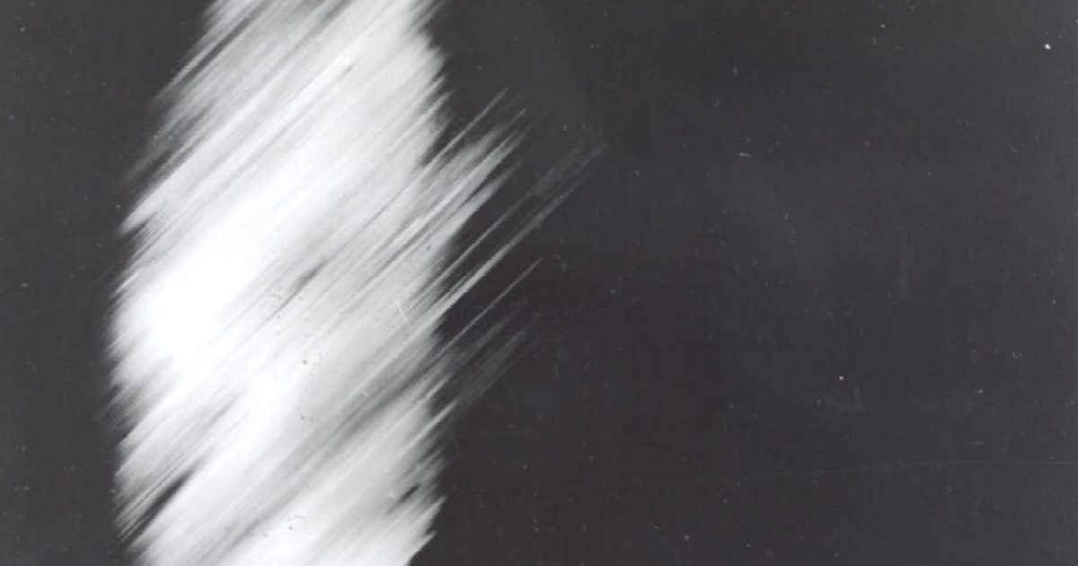
Today in the history of astronomy, the first photo of Earth by a satellite is taken. | Published: August 14, 2026 It took 40 minutes for this first photo from a satellite to be transmitted from Explorer 6, in orbit, to a ground station in Hawaii. Credit: NASA, Explorer VI satellite, Public domain, via Wikimedia Commons NASA’s Explorer 6 satellite was launched Aug. 7, 1959, from Cape Canaveral, Florida. The spacecraft’s mission was to study Earth’s magnetic fields and radiation, as well as cosmic rays, geomagnetism, and micrometeorites. It also carried a photocell scanner, an instrument intended to photograph Earth’s cloud cover. A complication with one of its solar cells left Explorer 6 functioning at only 63% power, but it still achieved obit around the Earth and completed comprehensive surveys of the Van Allen radiation belts and the Earth’s geomagnetic field. And, on Aug. 14, 1959, Explorer 6 captured the first photograph of Earth by a satellite. While it was blurry and crude, the image of the Pacific Ocean laid the groundwork for future missions. Explorer 6 functioned for two months before its power failed on Oct. 6. Elisa Neckar is senior production editor of Astronomy magazine, and the editor of the Today in the History of Astronomy feature on Astronomy.com.
Aug. 14, 1959: Explorer 6 images Earth
Full Article
Original Source
Read the full article at Astronomy →KhanList aggregates and links to publicly available news content. We do not host full articles from third-party sources. Always verify important information with original sources.