
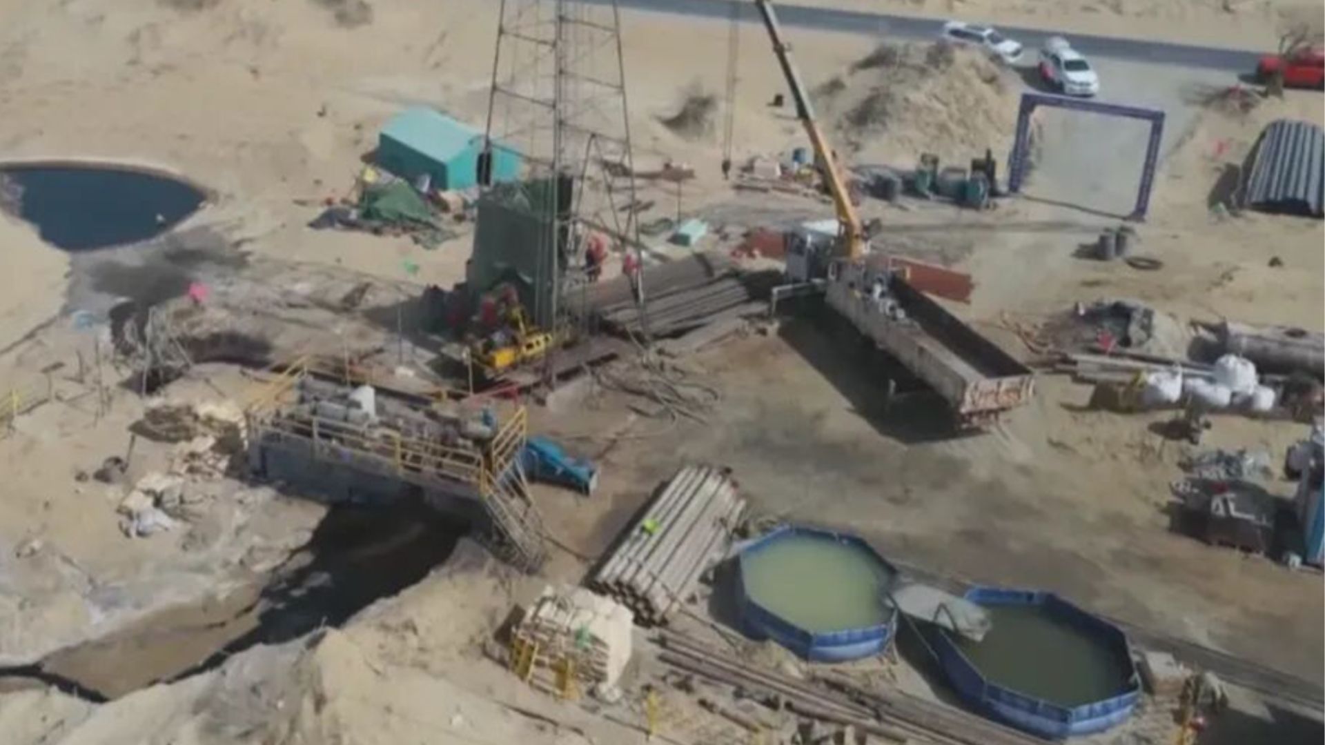
Geologists have identified two large groundwater sources beneath the Taklamakan Desert in northwestern China, potentially offering new options for water management in one of the country’s driest regions. The Xinjiang geological authorities made the discoveries during a water-finding project. One source was identified near Andir township in Minfeng county along the desert’s southern edge. At the same time, another was found south of the Mazartag Mountains in the desert’s interior, according to Chinese state media reports. Searching for water beneath the sand The findings are notable because the Taklamakan has long been considered an exceptionally difficult environment for finding usable groundwater. The newly identified sources challenge the assumption that groundwater beneath the desert is predominantly stagnant or saline, according to the report cited by South China Morning Post. The discoveries also come as China continues large-scale efforts to control desertification around the Taklamakan’s perimeter. In November 2024, China completed a roughly 3,046-kilometer (about 1,893-mile) green belt around the desert as part of the country’s long-running Three-North Shelterbelt program. The belt uses trees and other vegetation to help limit the movement of sand toward surrounding communities and agricultural areas. Water remains one of the biggest constraints on such efforts. Maintaining vegetation in an extremely arid environment requires substantial and carefully managed water supplies, while agriculture along the desert’s margins creates additional demand. The new project is therefore looking beyond simply locating groundwater. Researchers have also established a test station to investigate whether brackish water can be safely used for irrigation and desertification-control projects along the desert’s edge. Brackish water contains more dissolved salts than freshwater but less than seawater. Its potential is significant in water-scarce regions, but using it for agriculture is not as simple as pumping it from the ground. The UN Food and Agriculture Organization identifies saline groundwater and other non-conventional water sources as potential resources for agriculture, but emphasizes that their use requires appropriate treatment, monitoring and management. Excess salts can accumulate in soil and damage crops, meaning water quality has to be matched to the crop, soil and irrigation system. That makes the new test station potentially important. Rather than assuming that every newly discovered source can be used for drinking or conventional agriculture, researchers can determine what the water contains and whether it can be used safely for particular applications. The desert already holds enormous amounts of water The latest discoveries also add another piece to a much larger and more complicated picture of groundwater beneath the Taklamakan and the surrounding Tarim Basin. In 2015, researchers from the Chinese Academy of Sciences reported evidence for an enormous body of saline groundwater beneath the Tarim Basin. Their estimate suggested that the volume could be roughly 10 times the combined volume of North America’s five Great Lakes. The water was not presented as a readily accessible freshwater reservoir. Researchers were studying its role in the region’s carbon cycle. A desert can contain enormous quantities of underground water without having an easily accessible supply of freshwater suitable for drinking or farming. The new findings appear to concern specific groundwater sources that could potentially be useful for regional projects, but the available reporting does not establish their total volume, recharge rate, or long-term sustainability. A changing water environment The discovery comes as the Taklamakan region is experiencing a notable shift in its precipitation patterns. A 2024 Nature Communications study found a significant increase in summer precipitation across the broader Taklamakan and Gobi region in recent decades, including more extreme rainfall events. The researchers attributed much of the observed wetting trend to changes in atmospheric circulation and internal climate variability, rather than simply assigning it to global warming. The desert has also experienced exceptional individual rainfall events. A study published in the Journal of Geophysical Research: Atmospheres examined a July 2021 storm that produced more than 61.1 millimeters of rain in a day, triggering mudslides and landslides in the region. That does not mean the Taklamakan is becoming a naturally wet environment. Its climate remains extremely arid, and increased rainfall can itself create flooding and infrastructure risks. The newly identified groundwater sources could therefore become valuable if they prove both accessible and sustainable. The immediate challenge is determining not simply how much water is underground, but how much can be used without damaging the fragile desert environment or depleting the resource faster than it is replenished. Get the latest in engineering, tech, space & science - delivered daily to your inbox.Kaif Shaikh is a journalist and writer passionate about turning complex information into clear, impactful stories. His writing covers technology, sustainability, geopolitics, and occasionally fiction. A graduate in Journalism and Mass Communication, his work has appeared in the Times of India and beyond. After a near-fatal experience, Kaif began seeing both stories and silences differently. Outside work, he juggles far too many projects and passions, but always makes time to read, reflect, and hold onto the thread of wonder.
10 times larger water reserve than Great Lakes found beneath desert, China claims
Full Article
Original Source
Read the full article at Interestingengineering →KhanList aggregates and links to publicly available news content. We do not host full articles from third-party sources. Always verify important information with original sources.