
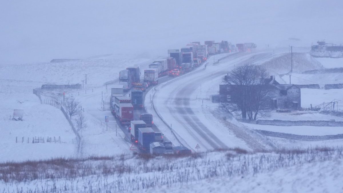
There have been a series of dramatic claims about the impact of Super El Niño – the climate phenomenon building in the Pacific Ocean. El Niño is a regular shift in climate pattern, bringing changes to worldwide weather as warmer conditions spreads across central and eastern Pacific – but it has been predicted that this year, it is likely to be at its strongest since the 19th century. Usually it does not have a great impact on the UK, instead causing major weather changes in South America, south-east Asia, southern Africa and Australia. Climate scientists now predict 451,000 people across the world will die due to additional heat. But due to the size of this year’s event, there are fears that a Super El Niño could cause extreme changes to the weather in Britain – including speculation over a “551-mile wall of snow”. Shorts Some have claimed there is risk that violent weather could bring chaos to transport and the economy – and even disrupt food supplies from other countries. But how accurate are the claims? Here are some of those being made. ‘Polar vortex of snow and storms’ Much of the recent coverage of El Nino has centred around the impact that it will have on the polar vortex – strong westerly winds high in the stratosphere that encircle the North Pole every winter. The vortex forms when the air high above the North Pole becomes extremely cold and dense in winter, then meets warmer air further south – driving the fierce winds. A research paper published by the US government’s NOAA Chemical Sciences Laboratory said El Niño “tends to promote the breakdown of the polar vortex, especially in late winter”, increasing the likelihood of snowstorms. “Later in winter, following the peak of El Niño, the stratospheric polar vortex can become weaker,” the Met Office said. “This may raise the chance of Sudden Stratospheric Warming events, which can increase the potential for cold weather.” However, it clarified that these predictions were “shifts in probability rather than guarantees.” Spokesperson Nicola Maxey told The i Paper: “While El Niño is one of several factors that can influence the UK’s weather, its impact here is less direct than in some other parts of the world. “A strong El Niño can increase the likelihood of wetter and more unsettled conditions during late autumn and early winter, but it does not determine exactly what weather the UK will experience, nor does it automatically lead to an increase in extreme weather events.” El Niño could bring wetter and milder weather to the UK through the autumn and winter, according to Ilan Kelman, Professor of Disasters and Health at UCL “There’s nothing definite, but in general we would expect a milder, wetter, and stormier autumn, a colder winter, and then a possibility of a hotter summer next year,” he added. Overall, the impact on Europe is less certain due to distance. ‘Stockpile to prepare for 551-mile wall of snow’ Amid growing fears over a potential breakdown in the polar vortex, British Gas recently issued advice on how to prepare for a sudden “wall of snow” – including storing at least three days’ worth of food and essentials. However, the Met Office suggested this would be unnecessary without a specific forecast for heavy snow. The Government has issued stockpiling advice due to the possible impact of an extreme weather event , as well as increasing national security concerns such as “hybrid war” attacks. This, however, does not relate to any impending potential snowstorm, but to longer-term preparation. The Met Office said that although conditions are predicted to turn cooler, this is different from a confirmed outbreak of disruptive or extensive snow. “There is also nothing in the forecast that indicates changes in the polar vortex,” it said. “References to possible changes to the vortex are in relation to possible impacts of an El Niño, which if they were to happen would be at the end of the winter.” Maxey added that the current models predict the UK is much more likely to see wind and rain than snow: “Our current longer-range outlook indicates an increased likelihood of wetter and windier conditions, particularly later in the autumn and early winter. “This forecast pattern is broadly consistent with conditions often associated with El Niño at this time of year.” ‘Temperatures will plummet this week‘ While temperatures are likely to drop from the mild conditions we have been experiencing across southern areas, the possibility of temperatures “plummeting” remains unlikely. There have been reports of sub-zero conditions in some places, but these have often been hyperlocal. The Met Office said: “Daytime values are expected to be close to or a little below average. “Friday’s temperatures should be mostly near average and could sit slightly above normal in the south and east. Saturday is likely to be rather cool in places, with blustery winds, sunny spells and scattered showers. This is a recognisably autumnal pattern rather than an exceptional cold spell.” The UK is usually more likely to suffer wetter and windier conditions from El Niño rather than colder conditions.
Will Super El Niño bring ‘a wall of snow’ to the UK? All the claims, fact checked
Full Article
Original Source
Read the full article at Inews →KhanList aggregates and links to publicly available news content. We do not host full articles from third-party sources. Always verify important information with original sources.