
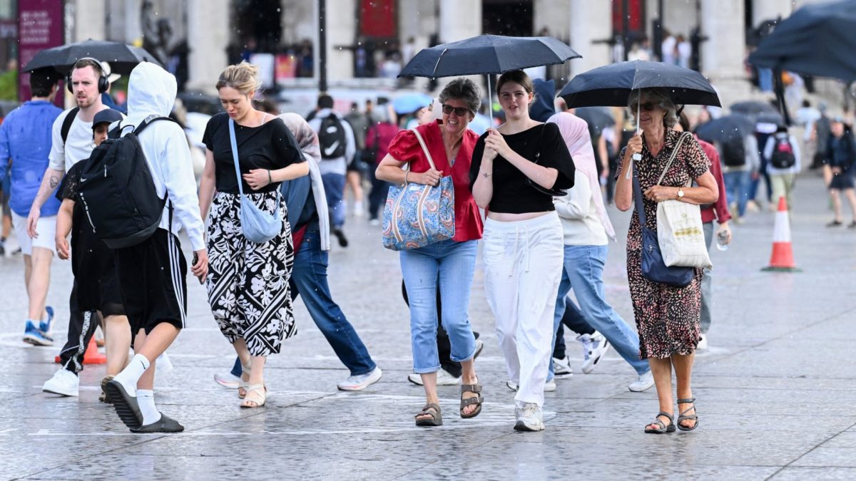
Large parts of England and Wales are facing thunderstorms and torrential rain on Thursday, with a yellow weather warning in place as temperatures continue to fall. The unsettled conditions come after a run of hot weather, although forecasters say another spell of summer-like temperatures could return in September. The threat of flash flooding and travel disruption remains, with some areas potentially seeing up to 75mm of rain. Shorts Downpours could also bring large hail, lightning and gusty winds, creating difficult conditions for motorists and commuters. Humidity will remain high, with the Met Office forecasting levels of up to 96 per cent in Birmingham on Thursday. Conditions should become less humid across much of the UK on Friday before humidity rises again in the evening and remains high over the weekend. High humidity in warm weather makes it harder for the body to sweat and cool down, making it feel warmer than the temperature says. The heavy rain and thunderstorms will then move northward, with spells of rain set to continue over the weekend and windy conditions in the south. Where the yellow warning is in place A yellow weather warning for thunderstorms is in force until 10pm on Thursday across much of the Midlands, all of Wales, eastern England and parts of the north. London, Hull, Bristol and Canterbury are among the areas covered by the alert. The Met Office said the storms could bring travel disruption, flooded roads potentially cutting off communities, damage to buildings and power cuts. A yellow weather warning for thunderstorms is in force across much of England (Photo: Met Office) A further yellow weather warning for thunderstorms covering parts of eastern England, stretching roughly from Hull to Canterbury, will run from 5pm on Thursday until 7am on Friday. The forecaster urged people in areas at risk of flooding to check whether they could be affected and, where necessary, prepare a flood plan and emergency kit. El Niño brings wetter and stormier conditions The climate phenomenon known as El Niño is set to keep stormy weather going into autumn and winter. El Niño is the biggest fluctuation in the world’s climate system and this one will see the Pacific Ocean’s surface temperature rise by 3°C, according to the Met Office’s forecasts, classifying the event as a “super El Niño”. A “super El Niño” is defined as tropical Pacific Ocean surface temperatures reaching 1.5-2°C or more above average, prompting experts to predict this year’s event as the strongest in living memory. Its effects vary worldwide, including impacts on hurricane season in the Caribbean and the monsoon season in Asia. Because of the UK’s distance from the Pacific, its impact is less predictable, but wetter, stormier conditions can be expected. Will there be another heatwave? Despite the impending lower temperatures, a heatwave could return in September. The Met Office’s long-range forecast predicts that the UK will experience “drier and more settled interludes,” especially in the south, with temperatures likely to be near average, though “some short-lived warm or very warm spells are possible” from 31 August to 9 September. Then from 10 September to 24 September, it forecasts drier weather and the possibility of warmer weather, with a chance of hot spells in the south. But the forecaster has not given a definitive view on whether there will be a heatwave.
Where thunderstorms and flooding will hit UK – and when heatwave could return
Full Article
Original Source
Read the full article at Inews →KhanList aggregates and links to publicly available news content. We do not host full articles from third-party sources. Always verify important information with original sources.