
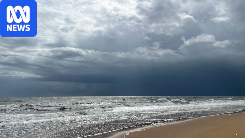
Only weeks into Australia's severe weather season, thunderstorms are already widespread across the country.This week, record rain and extreme flooding hit south-east Queensland and rain and storms will extend across more than half the country this weekend as two separate weather systems collide over the east.Severe thunderstorms are also possible across multiple states, including the potential for squall lines and dangerous rotating storms called supercells.Here is a day-by-day break down of where heavy rain and severe weather is possible.On Saturday, a band of rain is forecast from South Australia, through Victoria to Tasmania. (Supplied: Tanya Beattie)SaturdayOnce again today, showers and potentially severe thunderstorms are possible across central and south-east Queensland.Continuing the trend all week, the main threat is heavy rain and flash flooding rather than damaging winds or hail.Today's weather for New South Wales will also be a repeat of conditions all week — the north-east of the state can expect showers and thunderstorms, while the odd storm extends south down the coast and ranges.However, it is in southern Australia where a major change is imminent.After a warm and sunny week, a strong cold front is approaching from Western Australia, and is linking with a stream of tropical moisture to spread a band of rain from South Australia, through Victoria to Tasmania.On the leading edge of the band where surface temperatures are still warm, thunderstorms are also in the mix today, and with a jet stream approaching, they could become severe and produce heavy rain, damaging winds and the odd pocket of hail.SundayThe weather will become even more dynamic on Sunday as the cold front runs into the very warm and humid air near the eastern seaboard.Severe thunderstorms are possible across central and eastern Victoria along with much of NSW, with a triple threat of flash flooding, damaging winds and large hail.The presence of an approaching jet stream, strong winds aloft, could lead to storms reaching the two most intense varieties.The weather is set to become more dynamic on Sunday. (Supplied: Lloyd Mouat)Firstly, organised multi-cells are likely, which could line up into a squall line.These form when individual thunderstorm cells on the move cluster into a band, which allows longevity and intensification.The odd supercell, the king of all thunderstorms, is also possible.Supercells have rotating updrafts, a feature that prevents rain from falling into and therefore weakening the supply of warm, humid air fuelling the storm.They are capable of generating destructive winds, giant hail and flash flooding.If a supercell or two does develop on Sunday it is most likely over central inland or southern NSW, along with north-east Victoria.Further north, severe thunderstorms with gusty winds are likely over western Queensland and the southern Northern Territory.For our capitals, thunderstorms are most likely in Melbourne early in the morning, Canberra in the afternoon, and Sydney in the late afternoon or evening.Brisbane can also expect another showery and thundery day, while Adelaide and Hobart can expect wet weather on Sunday, but no further thunderstorms.Monday to FridayCold air behind the front will have stabilised the weather across SA, Victoria and Tasmania by Monday, but the storm outbreak will roll on across NSW and Queensland.Once again storms are likely to become severe, and supercells are possible thanks to a combination of high instability and strong winds above the surface.The most intense storms on Monday should form over inland Queensland and north-east NSW, but could track to Brisbane and surrounds later in the day.Much of the eastern seaboard can expect at least 25mm of rain during the coming week. (ABC News)From Tuesday, storms will mostly contract to the tropics, however modelling is indicating another outbreak of thunderstorms is possible across central and south-east states later in the week.The ongoing wet and stormy weather will ensure at least moderate totals across most of Australia during the coming week, including another 50 millimetres plus across south-east Queensland and north-east NSW.October records already fallingRain has now fallen across much of Queensland for 10 consecutive days, and a handful of weather stations have already notched up their wettest October on record.Some more notable monthly totals by 9am Friday include:Nambour, 401mm: Wettest October on record (data to 1896).Beerburrum, 354mm: Wettest October on record (data to 1958).Blackall, 106mm: Wettest October in 28 years.Normanton, 60mm: Wettest October in 40 years.This October has brought well over 100mm of rain to the NSW north coast, and parts of central and southern Queensland. (ABC News)Across the border, Coffs Harbour had collected 339mm by 3pm Friday; the city's wettest October in 16 years.But while some areas have seen flooding, in general the rain is welcome since drought has developed this year on both sides of the border, especially considering we are approaching the peak of the bushfire season.For some towns, like Moree, this October has seen more than 120mm, making it the wettest calendar month in four years.So why is it so wet during a strong El Niño?Without a jet stream overhead, a high pressure system in the Tasman has been allowed to stall for more than a week. (ABC News)The Indian Ocean is negating the drying influence of El Niño, however the immediate weather pattern is also playing a role.A rare spring blocking high, a stationary high, spent the entire week funnelling moisture into eastern Australia at a time of year when a strong jet stream normally keeps highs and lows mobile.But the two jets, the sub-tropical and polar, have spent the week separated in our region, which has cradled the high in position.
Weekend washout for most states as storm season intensifies
Full Article
Original Source
Read the full article at Abc →KhanList aggregates and links to publicly available news content. We do not host full articles from third-party sources. Always verify important information with original sources.