
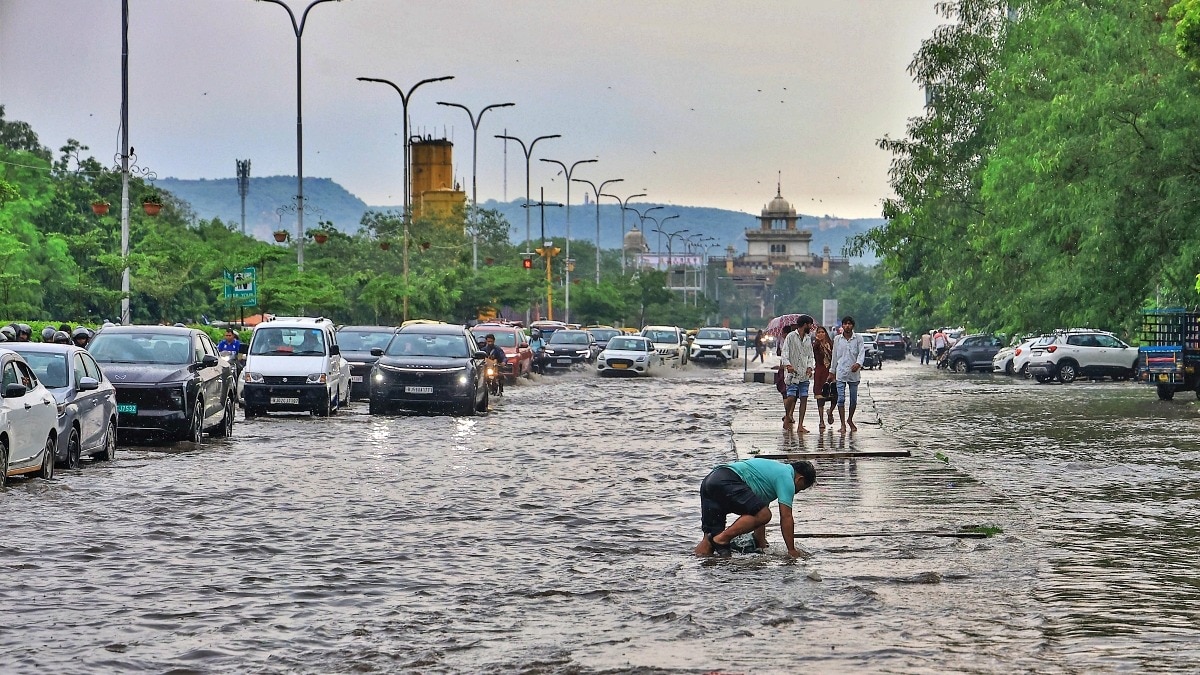
Rainfall is likely to remain active across several parts of India on Thursday, August 20, with the India Meteorological Department (IMD) forecasting heavy to very heavy rain at isolated places in parts of central and northern India.Chhattisgarh, East Madhya Pradesh and West Uttar Pradesh are likely to see the most intense spells, while heavy rain is also expected in East Uttar Pradesh, Uttarakhand, Himachal Pradesh, Jammu and Kashmir, Ladakh, parts of the Northeast and West Madhya Pradesh. A man covers himself with a plastic sheet during a monsoon rain shower. (Photo: PTI) The forecast comes as a weather system that has already brought heavy rain to several states continues to move across central India.LOW-PRESSURE SYSTEM BRINGS ANOTHER WET DAYThe main feature influencing the weather is a well-marked low-pressure area over north Jharkhand and adjoining parts of southwest Bihar and southeast Uttar Pradesh. According to the IMD, the system developed after a depression weakened into a well-marked low-pressure area at 11:30 am IST on August 19. Commuters make their way amid heavy rain. (Photo: PTI) It is expected to move west-northwestwards across southeast Uttar Pradesh, adjoining north Chhattisgarh and northeast Madhya Pradesh during the next 24 hours. The monsoon trough is also passing through Firozpur, Karnal and Hardoi before extending through the low-pressure area towards Digha and the northeast Bay of Bengal. An image illustrated the movement of the low-pressure system. (Photo: IMD) Together, these weather features are supporting rainfall across parts of north and central India.CENTRAL INDIA, UP TO SEE HEAVY RAINSChhattisgarh, East Madhya Pradesh and West Uttar Pradesh are forecast to receive heavy to very heavy rainfall at isolated places on August 20.East Uttar Pradesh, West Madhya Pradesh, Uttarakhand, Himachal Pradesh and Jammu and Kashmir are likely to see isolated heavy rainfall as well. A satellite image shows the weather systems over the Indian subcontinent. (Photo: IMD) Parts of the Northeast, including Arunachal Pradesh, Assam and Meghalaya, Nagaland, Manipur, Mizoram and Tripura, are also expected to receive heavy rain at isolated places.The broader rainfall pattern shows that the wet spell is not limited to these areas. Fairly widespread to widespread rain is expected over West Madhya Pradesh from August 20 to 23, East Madhya Pradesh through August 25, and Konkan and Goa through August 25.WILL IT RAIN IN DELHI-NCR?Delhi-NCR is likely to see a comparatively less widespread rainfall pattern. A person rides a bicycle amid rain. (Photo: PTI) The IMD's forecast places Haryana, Chandigarh and Delhi in the "scattered" rainfall category on August 20, meaning rain is expected in a few places rather than across most areas.However, the region has already seen significant rain. Between 8:30 am on August 18 and 8:30 am on August 19, isolated parts of Haryana and Delhi recorded heavy to very heavy rainfall, with Kalka receiving 16 cm and Panchkula 10 cm.The rain spell is therefore expected to remain active over northern and central India even as the low-pressure system gradually moves west-northwestwards.- EndsPublished On: Aug 19, 2026 19:35 IST
Thursday to be wet: Moving low-pressure system to bring monsoon rain
Full Article
Original Source
Read the full article at Indiatoday →KhanList aggregates and links to publicly available news content. We do not host full articles from third-party sources. Always verify important information with original sources.