
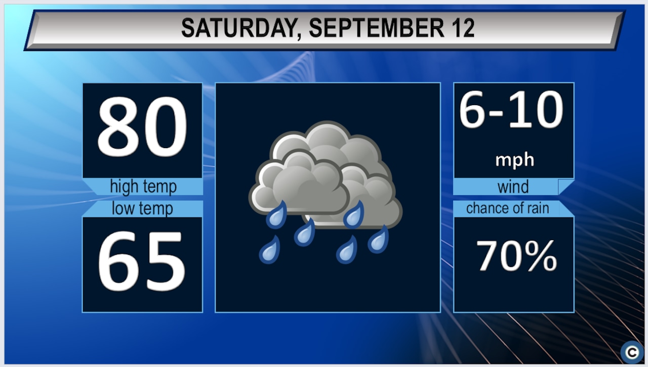
WeatherNortheast Ohio can expect to see rain, primarily after 2 p.m. this afternoon.cleveland.comCLEVELAND, Ohio - Convective activity currently moving through the lower Ohio Valley will lift north into the Cleveland region this morning and continue through the afternoon. Temperatures will climb into the low 80s today as a warm front lifts through the area, with humid conditions developing as dew points rise into the lower 70s. Storms are expected to move through during afternoon hours, with the primary concerns being gusty winds and locally heavy rainfall. Weather models show enough atmospheric moisture in place to produce efficient, heavy rainfall with any storms that develop. A brief window of clearer conditions is possible this evening before patchy fog and low clouds return overnight into Sunday morning.Sunday’s Cold FrontA cold front will approach the region from the northwest on Sunday. Highs are expected to return to the 80s with dew points in the lower 70s ahead of the front, allowing for renewed shower and storm development. There is increasing potential for stronger, better-organized storms Sunday compared to today, though forecasters note uncertainty remains about exactly which areas will see the most active weather — activity may favor southeastern portions of the forecast area as the front moves through. Winds will shift from southeast to southwest through Saturday into early Sunday, then turn west to northwest as the front passes, freshening to 15 to 20 mph. Lake Erie will see building waves of 3 to 5 feet Sunday night.Extended Outlook: Midweek Warmth and Rain ReturnsMORE BY CLEVELAND.COM EXPRESS DESKHigh pressure will briefly move over the region Monday, bringing decreased winds and a lull in shower activity. However, warm and unsettled weather returns Tuesday night through Thursday as another cold front approaches, then slows and stalls over the area by Wednesday. This stalled boundary, combined with west-to-east flow aloft, may lead to repeated rounds of showers and storms affecting the same areas through Thursday. It remains too early to determine whether this activity will produce any severe weather or flooding concerns, but residents should monitor updated forecasts as the week progresses.Ohio regional radarThe Cleveland.com Express Desk uses AI tools to assist in producing content, which is reviewed and edited by staff.This article was produced with assistance from AI tools and reviewed by Cleveland.com staff.
Storms expected today, more likely Sunday ahead of cold front
Full Article
Original Source
Read the full article at Cleveland →KhanList aggregates and links to publicly available news content. We do not host full articles from third-party sources. Always verify important information with original sources.