
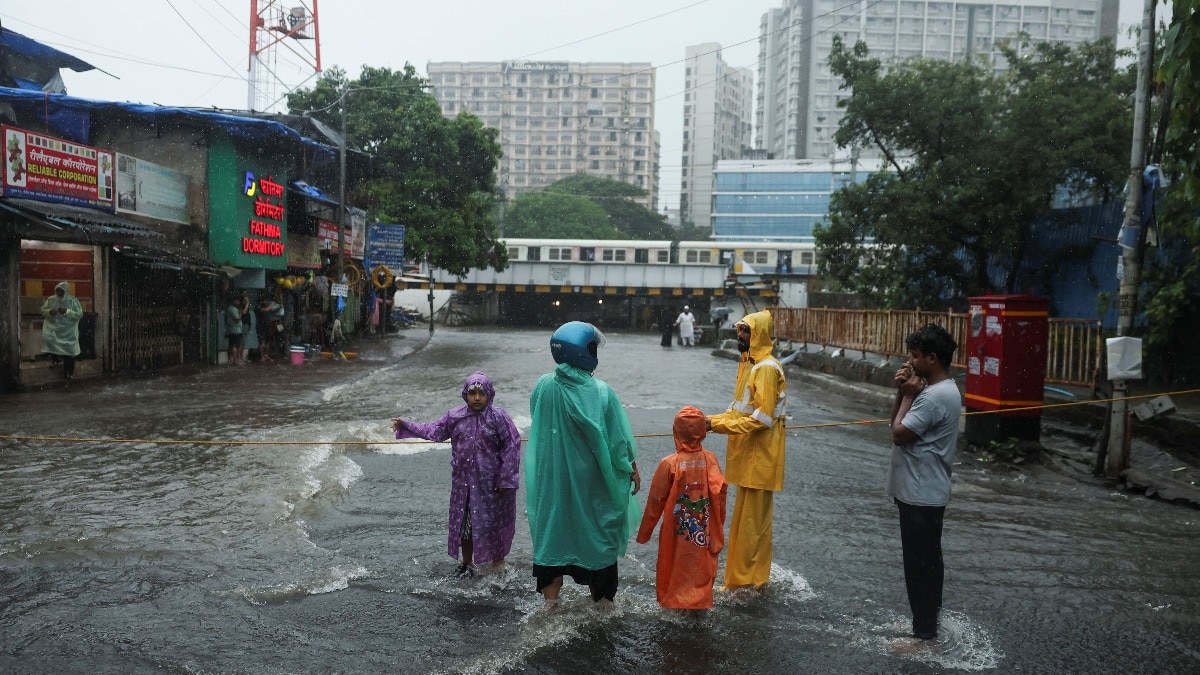
The monsoon is not disappearing from India just yet, but its rain is becoming increasingly picky.A low-pressure area over northeast Madhya Pradesh is helping keep the southwest monsoon active across central and eastern India, while the latest forecast points to another wet spell for several states over the coming days.At the same time, the rainfall map remains acutely uneven, leaving several regions with little relief from their deficits.In the coming days, the monsoon is expected to become more picky and uneven. People wade through a waterlogged street in Gurugram. (Photo: PTI) WHERE WILL THE MONSOON STAY ACTIVE?The strongest rainfall spell is expected to arrive over central, eastern and northeastern India.East Madhya Pradesh is likely to see heavy to very heavy rain at isolated places on August 22, while Chhattisgarh is expected to receive fairly widespread to widespread rain through August 26, with isolated heavy spells. West Madhya Pradesh could also see isolated heavy rain through August 25.Further east, Odisha is forecast to receive fairly widespread to widespread rainfall through August 26, with heavy spells on August 21-22 and again from August 24-26. Jharkhand is likely to see widespread rain from August 22-26, while Bihar is expected to remain active from August 22-25.The Northeast is also set for a wet spell.Assam and Meghalaya could receive isolated heavy rain through August 27, while Arunachal Pradesh is likely to see heavy rain on August 21 and again from August 23-27.The rain will not be confined entirely to the east.West Uttar Pradesh is forecast to receive isolated heavy rain on Saturday, August 22. Meanwhile, East Uttar Pradesh could see fairly widespread rain from August 22-25, and Haryana, Chandigarh and Delhi are under an IMD heavy-rain warning for August 22.Konkan and Goa are also expected to remain wet through August 27. Boats are seen moored in swollen Ganga river following heavy rains. (Photo: PTI) WHERE WILL IT NOT RAIN?Rajasthan, Gujarat and several parts of the southern peninsula are likely to see less widespread rainfall than the central and eastern belt.The IMD's forecast shows isolated rainfall over West Rajasthan, while Gujarat, Saurashtra and Kutch are also largely in the isolated-rain category.Telangana, Andhra Pradesh, Rayalaseema and Tamil Nadu are similarly expected to see mostly isolated rainfall during the period.That does not mean these regions will remain completely dry.Short spells can still occur, particularly where local weather systems develop.Konkan and Goa, coastal Karnataka, Kerala and Lakshadweep are notable exceptions, with more widespread rainfall expected through the coming week. A satellite image shows the weather systems over the Indian subcontinent. (Photo: IMD) Models indicate the low-pressure system is unlikely to move far enough west or south to bring meaningful rain to western, southern and northwestern regions for the rest of the month.India's southwest monsoon arrived on June 4 and had delivered only uneven rains by August 21, leaving the country facing a 14% rainfall deficit.But the national deficit figure masks a much wider divide.The IMD had forecast August rainfall at below 94% of its long-period average of 254.9 mm.With the latest systems continuing to favour some regions over others, the defining feature of the 2026 monsoon may be not simply how much rain India receives, but where that rain falls.- EndsPublished On: Aug 22, 2026 15:28 IST
Monsoon is losing grip on parts of India. Where will dry days begin?
Full Article
Original Source
Read the full article at Indiatoday →KhanList aggregates and links to publicly available news content. We do not host full articles from third-party sources. Always verify important information with original sources.