
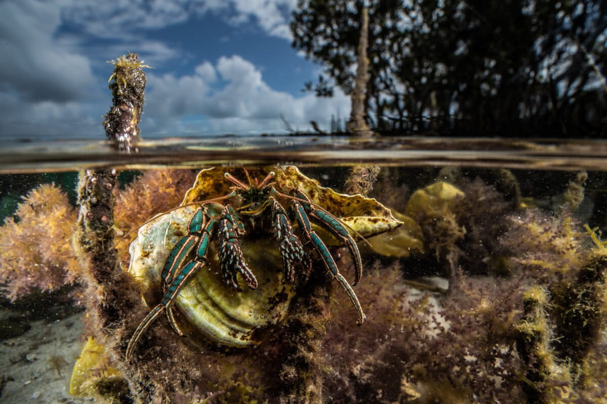
Mangrove forests can help protect tropical coastal areas from rising sea levels and storm surges.New research presents a model by which to predict how much mangroves can reduce — or attenuate — large waves associated with severe storms such as typhoons.The researchers also created an online tool that can be used by practitioners to estimate the attenuation impact of mangroves anywhere around the world.The authors say their work can be used for ecological restoration and coastal engineering, and to help “vulnerable coastal communities deploy adaptive defenses before disaster strikes.” Existing at the junction of land and sea, mangrove forests have long been heralded for their ecosystem services, including their ability to buffer coastal areas against storm surges and rising seas. Now, new research has found a way to predict just how much mangroves can diminish waves associated with severe storms. When a wave hits an outcrop of mangroves, its energy is absorbed by the plants’ dense network of twisted roots. When the wave comes out on the other side, its intensity is often decreased, acting as a natural buffer for shorelines — sometimes even shielding shoreside communities from water damage or severe floods. This ability for mangroves to curb wave intensity — a property called attenuation — is well known among scientists. However, much of the data supporting this was collected by measuring mangrove attenuation during mild, calm periods of weather. Quantifying mangrove attenuation during storms or typhoons is trickier — it’s harder to gather data, and there are more factors dominating wave motion, like turbulence. Because of this, “existing models do not always perform so well to predict the wave attenuation by mangroves during storms,” Stijn Temmerman, a professor at the University of Antwerp, Belgium, told Mongabay by video call. This is especially important, researchers told Mongabay, as climate change is linked to severe weather systems. More than 87 million people were impacted by climate-related disasters in 2025, including flooding events and severe storms. Because of this, the development of new methods to model worst-case scenario climate and weather events has the potential to help “vulnerable coastal communities deploy adaptive defenses before disaster strikes,” said Temmerman, who co-authored the paper, over email. Now, scientists in the M5 lab (M5 stands for Mudflat, Marsh, Mangrove, Measurement & Modeling) led by Zhan Hu at Sun Yat-sen University in Guangzhou, China, have found a solution. Their results were published online in August in the journal Climate Risk Management. The roots of mangrove trees are evolved to “breathe” air, filter out salt and anchor them in waterlogged mud, allowing them to survive at the interface of land and sea. Image by Yinan Chen via Wikimedia Commons (Public domain). “Hu looked at it from a very different point of view, so he did something new,” Temmerman told Mongabay by video call. Using a new equation dubbed the HU method, the research team used calm-weather wave measurements in mangrove forests to retroactively predict their attenuation of record-breaking waves wrought by Typhoon Yagi, which hit Southeast Asia and South China in early September 2024. They also released a new online tool that was designed to make predicting mangrove attenuation accessible for coastal engineers around the world. “The point we’re making in this paper is that if you are able to measure during calm conditions, and using this new insight …. you’ll be able to predict the wave attenuation functionality, and even during storms,” Temmerman said. Understanding attenuation: The HU method Between August and September 2024, the M5 lab captured data on waves at a site of restored mangroves along China’s Zhanjiang coast. When Typhoon Yagi swept through the Philippines and southern China in early September, high-speed winds created waves nearly 0.9 meters (3 feet) high upon meeting the mangroves’ front edge — a record-breaking wave height observed in a mangrove ecosystem. The team found that even those waves were dissipated by the mangroves, decreasing to 0.36 meters (1.18 feet) high after washing through a football-field length of mangrove forest. Throughout the monitoring period, mangroves at their site reliably decreased wave height from between 44%-70%. Typically, predicting mangrove attenuation takes a lot of involved math. Field scientists have historically had to juggle a precise set of calculations: The measured density and diameters of individual mangrove plants, along with waves’ drag coefficients, turbulence and friction factors. “We go into this kind of deep dive into physics,” said Ruth Reef, a professor at Monash University in Melbourne, Australia, who was not involved in the research. Conversely, this new process is far less complicated: It involves only the waves’ relative heights divided by the number of waves sampled (represented by the variable HLn), and a parameter called the Ursell number that is calculated using wave height, length and water depth (and denoted by the variable Ur). Represented by the acronym HU, this method of calculation was first published in a 2025 study. With successful data collection from Yagi, the lab had a rare opportunity to see whether the HU method could use wave measurements during calm weather to retroactively predict mangrove attenuation during storms. This second round of data was collected from the same Zhanjiang site during the spring of 2025. “And it seems that this relationship holds across, let’s say, from calm weather conditions to storm conditions,” Temmerman said. HU even outperformed other models, according to the study. The authors write that the method’s predicted attenuation “closely matches” the real-life field observations of what happened when Yagi’s waves met the mangroves, while predictions made by other models “show large deviations.” Mangroves are found in coastal tropical areas around the globe. Here, a trio of proboscis monkeys (Nasalis larvatus) in Indonesian Borneo uses mangrove tree branches to search for food during high tide. Image by Ryan Hidayat Alwi via Wikimedia Commons (CC BY-SA 4.0). Web application and future study Along with demonstrating one instance of high accuracy using the HU method, M5 developed an accompanying website tool. The interface allows users to input their own wave data or storm simulations to generate predictions about mangrove attenuation during storms, or how many mangroves a restoration project would require to reach a desired level of attenuation. As of now, Temmerman said potential applications for this tool span from ecological restoration to coastal engineering, and that scientists could use it to help determine where infrastructure could benefit from an additional layer of natural defense ahead of man-made barriers. Hu added that their research could also be used by governments to determine how vulnerable their coastal areas are. “These tools can provide an approach or method for countries, particularly developing countries or those heavily dependent on coastal protection from mangroves, to better assess how much protection they can expect for a certain area, provided they have measurements in place,” Hu told Mongabay over email. Researchers can even share their own wave data sets through the online platform — an opportunity that is especially exciting, said Erik Horstman, a professor at the University of Twente in Enschede, Netherlands. “Enabling this kind of data exchanges … could really get us further and improve future models as well,” said Horstman over video call. He was not involved in the research. However exciting, Reef told Mongabay over video call that there’s still room for her to “put on my kind of doubtful hat.” While the calculations proved effective on a very specific stretch of coastline, she said it’s yet to be seen how the calculation will work at different study sites. Therefore, the risk is too high to call it management-ready yet. “When you talk about storms and mangrove protection, I mean, we’re talking about people’s lives,” she said. Mangroves in Macabebe, Philippines, flooded following Typhoon Goni in 2020. Image by Judgefloro via Wikimedia Commons (Public domain). There are additional considerations that aren’t factored into the HU method: For example, when water levels are high, mangroves can be submerged completely underwater — this would impact their attenuation capacity. “But it is definitely something I would use to see how my data compare,” Reef said. Even so, calculating attenuation with multiple approaches is important, and this paper was a great step, researchers said — especially as storm systems are exacerbated by climate change, and there are more barriers in impacted communities keeping them from collecting their own wave data. “Understanding how wave attenuation in mangroves depends on forest width is key in integrating these resilient systems in coastal management, for the protection of coastal communities now and in the future,” Horstman said over email. Banner image: A low tide on hermit crab amid mangrove roots. Image by Alex Pike / Ocean Image Bank. Can globally essential mangroves bounce back from deforestation? New study gives hope Citations: Hu, Z., Temmerman, S., Wei, W., Liu, Z., Qiu, X., Xiong, L., Stive, M., Phan, K. L., Schuerch, M., Zhao, Z., Bouma, T. J. … Suzuki, T. (2026). Mangrove forests as natural protection from record-high storm waves. Climate Risk Management, 54, 100874. doi:10.1016/j.crm.2026.100874 Hu, Z., Temmerman, S., Zhu, Q., Wang, X., Wu, J., Xu, T., Schoutens, K., Suzuki, T., Yang, Z. … Bouma, T. J. (2025). Predicting nature-based coastal protection by mangroves under extreme waves. Proceedings of the National Academy of Sciences of the United States of America, 122(12), e2410883122. doi:10.1073/pnas.2410883122 FEEDBACK: Use this form to send a message to the editor of this post. If you want to post a public comment, you can do that at the bottom of the page. Credits Topics
Mangroves keep waves at bay. A new study helps scientists predict how
Full Article
Original Source
Read the full article at News →KhanList aggregates and links to publicly available news content. We do not host full articles from third-party sources. Always verify important information with original sources.