
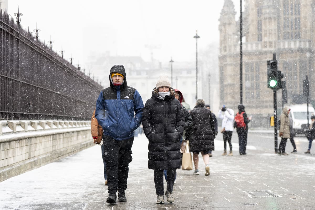
London could be heading for a cold snap and possible snowfall this winter as El Niño raises the risk of polar vortex disruption.Speculation around potential snowfall across the UK has been growing in recent weeks, with attention turning to the effects of El Niño and a possible weakening of the polar vortex.For Londoners hoping for snow, the developing weather pattern offers some encouragement, though it appears too early to tell for sure. Met Office forecaster Marco Petagna said: “At the moment, we’ve got a warming taking place in the stratosphere. The polar vortex in the stratosphere is starting to weaken.”The forecaster added: “For the UK, it does increase the chance of cold weather, normally a few weeks down the line, so sort of deeper into November is when we’re more likely to see an influence if it does happen.For Londoners hoping for snow, the developing weather pattern offers some encouragement, though it appears too early to tell for surePA“It’s important to emphasise that there was a major warming event last November, and on that occasion it didn’t directly lead to much cold weather in the UK.“It doesn’t always happen, it just increases the chance of it occurring.”Mr Petagna added that if winds reverse direction, it would become a “major sudden stratospheric warming” event — potentially the earliest ever recorded.What does the Met Office’s long-range forecast say?The Met Office’s latest long-range forecast, covering November 21 to December 5, indicates that unsettled weather is likely to persist into the start of winter.Atlantic weather systems are expected to bring periods of heavy rain, with the potential for strong winds across parts of the UK.But there could also be spells of drier, brighter weather, with conditions possibly becoming more settled as December gets underway.Temperatures are forecast to remain generally above average for the time of year.Meteorological winter officially begins on December 1. Forecasts are difficult to predict beyond five days, so it is still too early to say whether snow may fall over the Christmas period, and if so, where. What is El Niño?El Niño is a naturally occurring climate phenomenon involving warmer-than-average sea temperatures in the tropical Pacific Ocean, which can influence weather patterns thousands of miles away, including across Europe.Read MoreHistorically, El Niño events have been associated with a greater likelihood of mild, wet and unsettled conditions across the UK during late autumn and early winter.But its influence can change later in the season, when atmospheric disturbances may increase the chances of colder air reaching Britain.Could the polar vortex bring snow to London?One of the key factors meteorologists are monitoring is the polar vortex - a large area of strong westerly winds circulating high above the Arctic.During winter, the vortex helps contain extremely cold air around the North Pole. When it is strong, it can encourage a powerful jet stream, directing Atlantic weather systems towards the UK and bringing relatively mild, wet and windy conditions.But the polar vortex can weaken, become displaced or even split.These changes can influence the jet stream lower down in the atmosphere, potentially allowing colder Arctic or continental air to move southwards towards the UK.In some cases this can create the conditions needed for frost, ice and snowfall.The science behind the Polar VortexNOAAKnown as Sudden Stratospheric Warming (SSW), this disruption can increase the likelihood of colder weather reaching the UK. How does El Niño influence the UK's winter weather?El Niño can contribute to changes in atmospheric circulation by releasing additional heat into the atmosphere above the tropical Pacific.The changes can generate waves of energy that travel upwards through the atmosphere, potentially disturbing the polar vortex.Meteorologists say this can increase the likelihood of sudden stratospheric warming events, which in turn can raise the chances of colder weather reaching parts of Europe.However, it is not always so straightforward. The winter of 2009 to 2010, which coincided with an El Niño, brought some of the UK's coldest conditions in decades.But not every El Niño winter produces snowfall, for example the winter of 2006 to 2007, (another El Niño period) was notably mild.Meanwhile, the UK's infamous Beast from the East in 2018 occurred during a La Niña event, demonstrating that severe winter weather can develop without El Niño.What does this mean for snowfall in London?For London, the biggest question is whether any colder air arriving in the UK will coincide with enough moisture to produce snow.The capital's relatively mild urban climate can make snowfall difficult to achieve. Even when temperatures fall, snow does not necessarily settle, especially in built-up areas where surfaces retain heat.If high pressure develops over Scandinavia or the North Atlantic, colder easterly or northerly winds could potentially reach London.An easterly airflow could bring colder continental air towards the capital, while northerly winds could introduce Arctic air.If these conditions coincide with areas of precipitation, London could see sleet or snow showers.But temperatures, wind direction, moisture levels and the timing of weather systems all have a part to play.
Is it going to snow in London? What the Met Office's long-term forecast says as polar vortex weakens
Full Article
Original Source
Read the full article at Standard →KhanList aggregates and links to publicly available news content. We do not host full articles from third-party sources. Always verify important information with original sources.