
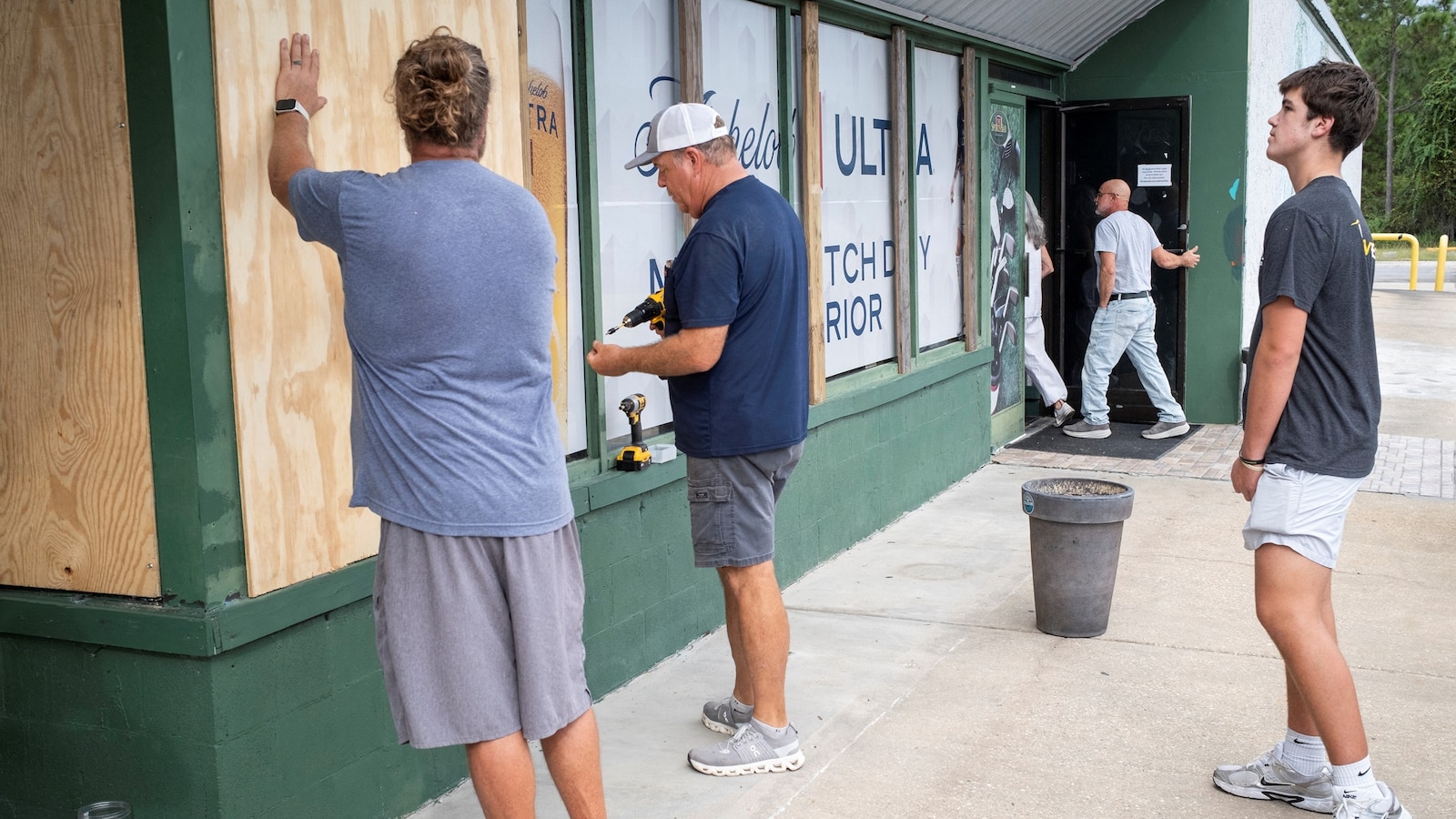
Hurricane Isaias is a high-end Category 2 storm currently headed toward the Gulf Coast, with landfall expected Friday evening along Florida’s Panhandle.The storm could strengthen into a major Category 3 hurricane Friday before weakening back to Category 2 ahead of landfall, which is expected between 8 p.m. and 10 p.m.Rain reached the Florida Panhandle early Friday and is expected to spread across the central Gulf Coast as winds pick up and tropical-storm-force winds are expected to reach the Gulf Coast later Friday morning, followed by hurricane-force winds in the afternoon.Landfall is expected within 40 miles east or west of Pensacola, possibly between Pensacola and Destin with the most destructive conditions expected near the storm’s center and east of where it makes landfall, meaning the area from Pensacola to Panama City could bear the brunt of the hurricane.Destructive conditions are expected and power outages could last for an extended period, particularly in the Florida Panhandle.The last hurricane to make landfall in the United States was Milton, which came ashore south of Tampa near Siesta Key, Florida, on Oct. 9, 2024 -- exactly two years ago from Friday. In 2025, the U.S. went through its first year in a decade without a hurricane making landfall.A hurricane warning is currently in effect from just east of Biloxi, Mississippi, through Mobile and Pensacola to Panama City and Mexico Beach, Florida where wind gusts in these areas could reach 75 to 110 mph.A tropical storm warning is also in effect from the eastern coast of Louisiana north to Montgomery and Tallahassee, Florida, where gusts could reach 50 to 75 mph.Men board up windows of a sports bar as Hurricane Isaias moves through the Gulf of Mexico and is forecast to strengthen before reaching the US Gulf Coast, in Perdido Key, Florida, US, October 8, 2026.Marco Bello/ReutersMeanwhile, a tropical storm watch is extending from Birmingham and Tuscaloosa, Alabama, to Albany, Georgia, and Hattiesburg, Mississippi where gusts of up to 55 mph are possible.Popular ReadsStorm surge of 5 to 7 feet is also possible from Dauphin Island and Gulf Shores, Alabama, to Pensacola, Miramar Beach, Laguna Beach, Panama City, Destin, Mexico Beach and Port St. Joe, Florida.A storm surge of 4 to 6 feet is possible in Biloxi, Gulfport and Bay St. Louis, Mississippi where the rising water could be accompanied by waves reaching up to 30 feet in some places.Rainfall totals of 4 to 8 inches, with isolated maximum amounts of up to 15 inches, are possible across southern Alabama, the Florida Panhandle and the Big Bend region of Florida.The coastal Carolinas and southern Appalachians could receive 3 to 5 inches of rain, with isolated amounts reaching 10 inches and the rest of the Southeast is expected to see widespread rainfall of 1 to 3 inches, with some localized areas receiving up to 5 inches.Flash and urban flooding are likely across the region, with considerable impacts possible across much of southern Alabama, the Florida Panhandle and southwestern Georgia. River flooding is also expected, and some areas could experience significant flooding.
Hurricane Isaias takes aim at Florida panhandle
Full Article
Original Source
Read the full article at Abcnews →KhanList aggregates and links to publicly available news content. We do not host full articles from third-party sources. Always verify important information with original sources.