
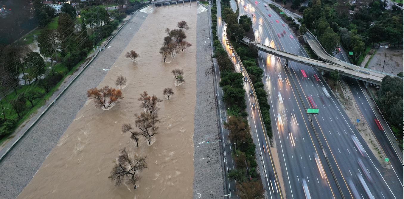
The Tibetan Plateau may be on the other side of the world from California, but what happens on this high-altitude landscape in Asia can set off a chain of events that fuels powerful atmospheric rivers with flooding rainfall and heavy snow hitting the U.S. West Coast. My team of atmospheric scientists discovered this connection, and we explain how it works in a new study in the journal Science Advances. California’s unexpected rainfall California and its neighbors saw record-breaking precipitation during the winters of 2016–2017 and 2022–2023 that caused widespread flooding and infrastructure damage. The U.S. Pacific Coast often gets atmospheric river storms during its winter rainy season, but the events in those years were especially striking because they occurred during La Niña conditions, which are typically associated with relatively dry winters in California. La Niña is El Niño’s cooler counterpart; they are the two extremes of a climate pattern connected to ocean temperatures known as the El Niño-Southern Oscillation. Satellite data shows the moisture in a powerful atmospheric river drenching Northern California on April 6, 2018. NOAA The two stormy winters highlighted an important limitation in seasonal forecasting: Ocean-based events such as El Niño and La Niña are important, but they don’t tell the whole story. No global computer models predicted or simulated 2016-2017 and 2022-2023 winter heavy precipitation in California using sea surface temperature. What the Tibetan Plateau has to do with it Our study provides evidence that unusually warm land temperatures over the Tibetan Plateau in early winter can help set up atmospheric conditions that favor stronger atmospheric rivers along the U.S. Pacific Coast later in the season, increasing the likelihood of extreme precipitation in California and surrounding regions. We first analyzed observations and found a statistically significant relationship between early-winter land temperatures over the Tibetan Plateau and late-winter precipitation in California. But a statistical relationship alone cannot establish cause and effect, because both could potentially be influenced by another factor. Yongkang Xue, et al., 2026 Next, we used climate-model experiments to test whether warming over the Tibetan Plateau could actually contribute to the precipitation extremes more than 7,200 miles (11,600 kilometers) away. When the global Earth system model was driven primarily by sea-surface temperatures, it failed to reproduce either the strong warming over the Tibetan Plateau or the extreme precipitation observed in California. But using observed Tibetan Plateau land temperatures to improve the model’s initial condition, it reproduced both the observed early-winter warming there and the late-winter precipitation over California. Yaks graze on the Tibetan Plateau in Asia. Tenace10 via Wikimedia Commons, CC BY-SA The connection is possible because the Tibetan Plateau is enormous, covering most of southwest China and parts of neighboring countries, and extremely high in elevation, averaging 14,800 feet (4,500 meters) above sea level. When its land surface becomes unusually warm, it heats the atmosphere above it. That changes the temperature differences between the plateau and the surrounding regions. A topographic map shows the elevation of the Tibetan Plateau, rimmed by the Himalayas to the south and west. darekk2, using NOAA data, CC BY-SA These changes can disturb the jet stream, the fast-moving westerly current of air in the atmosphere that helps steer weather systems around the Northern Hemisphere. That disturbance can travel eastward from the Tibetan Plateau as a large-scale atmospheric wave, known as a Tibetan Plateau-Rocky Mountain Wave train. By the time it reaches the eastern Pacific, the wave can become unstable and “break,” somewhat like an ocean wave breaking nearshore. This changes the structure and stability of the atmosphere over the Pacific and creates conditions that can strengthen atmospheric rivers. Better forecasting of atmospheric rivers Atmospheric rivers are long, narrow corridors in the sky that transport enormous amounts of water vapor. When they reach the West Coast, they can deliver intense rain and snow. Many previous studies have shown that atmospheric rivers are central to California’s largest precipitation events. Our findings suggest that early-winter warming over the Tibetan Plateau can help amplify the large-scale atmospheric conditions that make these storms particularly strong. This connection could also improve forecasting. Forecast systems have traditionally relied heavily on ocean conditions, particularly the El Niño-Southern Oscillation. Our results suggest that land conditions thousands of miles away may provide an additional clue to what’s coming. The Himalayas separate the Tibetan Plateau from the Indian subcontinent in this photo shot from the International Space Station. NASA Conditions on the Tibetan Plateau also affect weather in other regions of the world, including the East Asian Monsoon. Our past research found a similar pattern of Rocky Mountain spring temperatures influencing weather patterns in the U.S. Southern Plains. Monitoring Tibetan Plateau temperatures in early winter, together with ocean and atmospheric conditions, could help forecasters better assess the risk of extreme West Coast precipitation later in the season. Incorporating these land signals into forecasting systems could ultimately provide communities, water managers and emergency planners with more time to prepare for damaging atmospheric river seasons.
How heat on the Tibetan Plateau fuels powerful storms in California, half a world away
Full Article
Original Source
Read the full article at Theconversation →KhanList aggregates and links to publicly available news content. We do not host full articles from third-party sources. Always verify important information with original sources.