
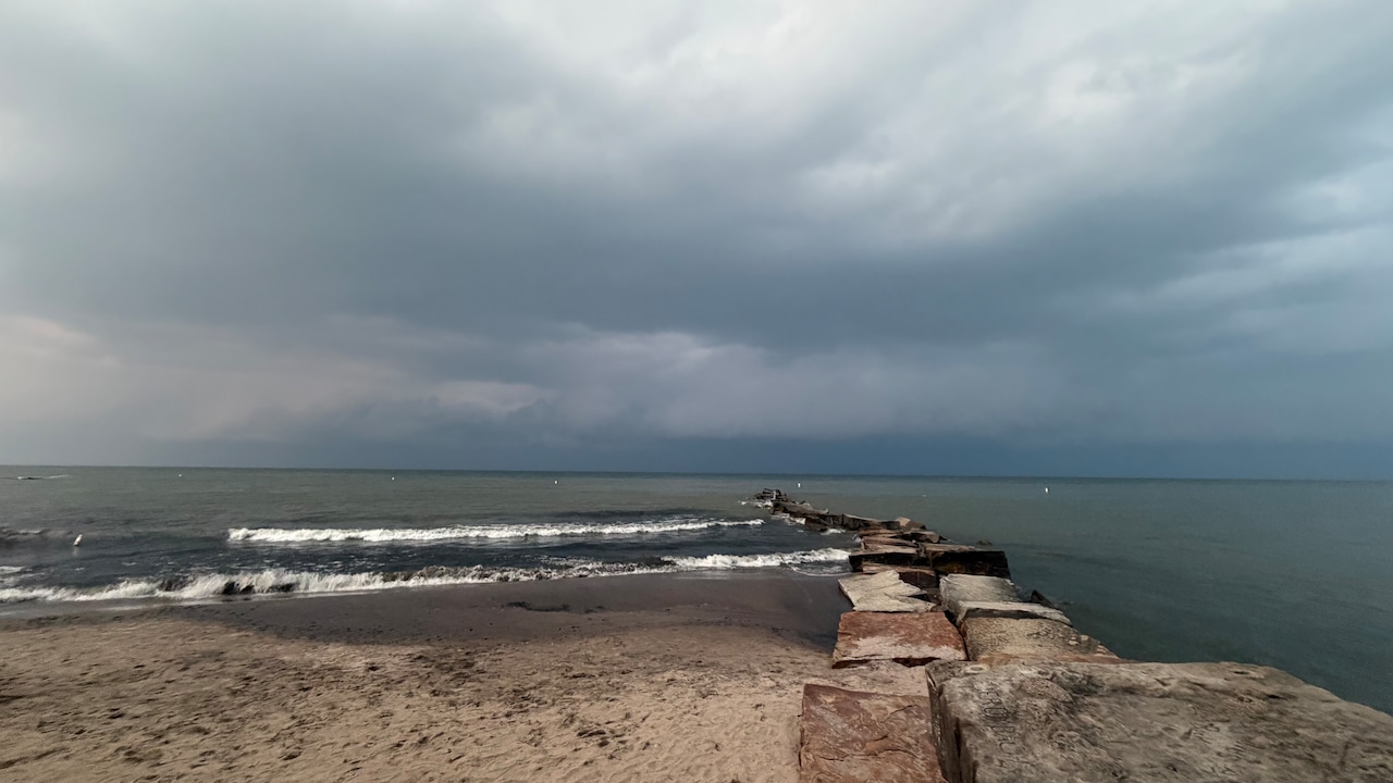
CLEVELAND, Ohio - Northern Ohio residents face an active weather day Sunday with dense fog that reduced visibility during morning hours now cleared and the potential for severe thunderstorms bringing damaging winds this afternoon.Widespread dense fog and low clouds developed across the region early Sunday morning, significantly reducing visibility at area airports and roadways. Conditions have improved as daytime heating took effect, clearing the fog and low clouds. A special weather statement was issued for the reduced visibility earlier this morning.By early afternoon, temperatures will climb into the 80s with humid conditions setting the stage for showers and thunderstorms to develop ahead of an approaching cold front. Severe storms are likely to be more east of Cleveland, like in the Akron and Youngstown areas, starting about 3 p.m. and ending by 8 p.m., according to the National Weather Service.The primary concern will be gusty to damaging wind gusts, with some hail possible in the strongest storms. These storms are expected to develop and track from northwest to southeast, with the greatest severe threat focused generally along and south of Interstate 80.A cold front will cross Lake Erie by Sunday evening, bringing a rapid shift to strong northwest winds of 15 to 20 mph. This will build waves up to three to six feet across nearshore waters. Small craft advisories are in effect for Lake Erie waters beginning at 6 p.m. Sunday, continuing overnight into Monday morning, with some zones extended through 10 a.m. Monday. Beach hazards statements are also in effect for dangerous swimming conditions due to high waves and strong currents.MORE BY ADVANCE LOCAL EXPRESS DESKHigh pressure will build over the region Monday, bringing decreasing winds and a break in unsettled weather. However, warm and humid conditions will return by the middle of the week as a warm front lifts across the region Tuesday. An approaching frontal system is expected to bring additional showers and storms beginning Tuesday night into Wednesday.This boundary will likely stall over northern Ohio, positioning the area between a trough to the north and ridge of high pressure to the south. This setup favors scattered shower and thunderstorm chances continuing through at least Thursday. Forecasters note early concern that repeated rounds of storms could track over the same areas given the expected atmospheric pattern, which could raise the potential for heavy rainfall and localized flooding later in the week. The Advance Local Express Desk uses AI tools to assist in producing content, which is reviewed and edited by staff. Advance Local is the parent company of AL.com, Cleveland.com, lehighvalleylive.com,...
Dense fog and severe storms expected across Northern Ohio Sunday
Full Article
Original Source
Read the full article at Cleveland →KhanList aggregates and links to publicly available news content. We do not host full articles from third-party sources. Always verify important information with original sources.