
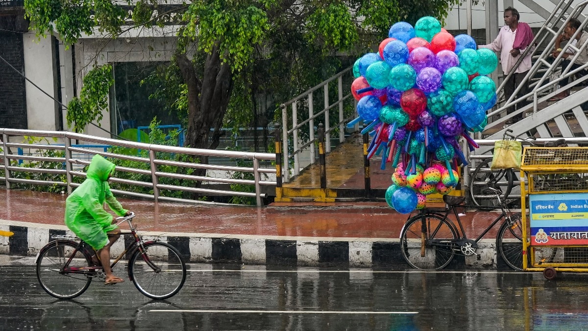
The India Meteorological Department (IMD) on Wednesday warned of heavy to very heavy rainfall, thunderstorms and squally winds across large parts of east, central and south India on Thursday, September 24, as a deep depression over the Bay of Bengal moves inland.According to the IMD's forecast, the system was centred over the westcentral and adjoining northwest Bay of Bengal on Wednesday morning, roughly 60 km southeast of Kalingapatnam in Andhra Pradesh. Commuters move on a street amid rain. (Photo: PTI) It was expected to cross the north Andhra Pradesh–south Odisha coast, close to Kalingapatnam, as a deep depression by Wednesday night, setting the stage for widespread rain as it tracks inland on Thursday.WHERE WILL IT RAIN THE HEAVIEST?Chhattisgarh, Coastal Andhra Pradesh, Odisha and Telangana are forecast to see heavy to very heavy rainfall, with isolated pockets of extremely heavy rain on Thursday. Bihar, Jharkhand, and West Bengal & Sikkim are likely to receive heavy to very heavy showers, while the Andaman & Nicobar Islands, Assam, Meghalaya, parts of Madhya Pradesh, East Uttar Pradesh, Karnataka and Kerala can expect heavy rainfall in isolated places. A satellite image shows the weather systems over the Indian subcontinent. (Photo: IMD) Thundersqualls with wind speeds of 50-60 kmph, gusting to 70 kmph, are likely over Chhattisgarh, Andhra Pradesh, Odisha and Telangana. Thunderstorms accompanied by lightning and gusty winds of 40-50 kmph are forecast for the Andaman & Nicobar Islands, Bihar, Gangetic West Bengal, Jharkhand, Konkan & Goa, Maharashtra and Rayalaseema.Several other states, including Karnataka, Kerala, Madhya Pradesh, Sub-Himalayan West Bengal & Sikkim and Tamil Nadu, may see milder thunderstorm activity.MONSOON CONTINUES TO RETREATEven as eastern and central India brace for heavy rain, the southwest monsoon continued its seasonal withdrawal on Wednesday, pulling back from most of Punjab, Haryana, Rajasthan, and parts of Uttar Pradesh and Gujarat. Dark monsoon clouds hover in the sky over the Taj Mahal, in Agra. (Photo: PTI) The monsoon also officially withdrew from the national capital, marking the start of the annual transition out of the monsoon season, which typically runs from June to September across the country.A separate weather system, an upper-air cyclonic circulation, was also noted over northwest Uttar Pradesh, contributing to unsettled conditions in that region. An image illustrating the monsoon withdrawal. (Photo: IMD) The IMD's forecast reflects the season's final active spell, as the retreating monsoon and the Bay of Bengal system together dictate contrasting weather across the country this week.- EndsPublished On: Sep 23, 2026 19:30 IST
Deep depression to bring rain and winds to east, central India on Thursday
Full Article
Original Source
Read the full article at Indiatoday →KhanList aggregates and links to publicly available news content. We do not host full articles from third-party sources. Always verify important information with original sources.