
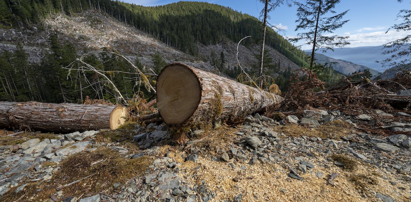
The 2021 floods in British Columbia’s Fraser Valley caused upwards of $14 billion in damages. Since then, communities have brought lawsuits against logging companies and the provincial government, blaming them for logging practices that made flooding worse. Over the past 50 years throughout B.C., clear-cut logging has been the primary method of timber extraction across watersheds of all sizes. Floods are happening more often and are becoming more expensive, and unlike the storms that help trigger them, clear cutting and the associated cumulative impacts are something we can manage. When watersheds are assessed for flood risk, the question often asked is a simple one: How much of the watershed has been logged? That may be the wrong question entirely. For more than 100 years, the influence of forests on floods has been explained by the trees. The forest canopy catches rain and snow, shades the snow from melting and transpires water back to the atmosphere. Our new study shows that this is only a part of the picture and, if considered in isolation, can mislead forest managers. Our study in Oregon, which has a similar climate to coastal B.C., suggests that the proportion of a watershed that is logged is not the only factor that determines flood risk. The landscape and climate matter too. We studied nine pairs of watersheds, with each pair made up of a logged treatment and an unlogged control that receive both rain and snow during the fall and winter. In these forests, the largest floods are not produced by rain alone, but by warm rainstorms that melt snow. A single storm brings its own water and releases the water in the snowpack at the same time. It’s not just how many trees Through our research, a puzzle arose. Two of our watersheds were completely clear-cut, with all trees removed, and if flood risk simply followed the proportion of a watershed logged, then these watersheds should respond in the same way. However, in one, a flood that a community would once have seen every 30 years began arriving every seven years, with the largest floods growing the most. In the other watershed, also completely clear-cut, the largest floods barely moved at all. So, the area of a watershed logged is not telling the full story. A watershed’s flood risk isn’t only decided by the amount of forest logged, but rather by the landscape, climate and forest as well. A map showing logged areas near Port Renfrew in southern Vancouver Island. (David Leversee), Author provided (no reuse) Read more: New study finds clear-cut logging can dramatically increase flood risk A century-old explanation turned around In the science of forest hydrology, there is long-standing research that suggests logging affects only small and medium-sized floods, and once a big enough storm arrives, forest cover no longer matters. In the watersheds where logging raised flood risk, we found the opposite. The largest, rarest floods were affected more than the small and medium-sized floods. These are the floods that matter the most because they put downstream communities in danger. Whether a watershed moves water quickly or slowly depends on how the climate and landscape work together, and logging can alter this balance. Our findings uncover that watersheds with flatter landscapes and warmer climates can move water much more quickly and demonstrate inherently high flood risk. Logging only further exacerbates this flood risk. The aftermath of clear-cut logging between Lake Cowichan and the Alberni Inlet, on Vancouver Island, B.C., in 2018. (Garth Lenz), Author provided (no reuse) Conversely, watersheds with big elevation ranges can spread snowmelt out over time, with snow at higher elevations melting at a different time than snow at lower elevations. Water arrives over time rather than all at once, reducing the risk of large floods. In situations like these, logging can alter this natural balance. Log trees where the melt would otherwise arrive late, and you can line the runoff up so it arrives all at once. Considering the context of the whole watershed, the same amount of logging can be harmless in one watershed but dangerous in another, not because of the proportion logged, but because of where in the watershed it was cut. Studying one watershed can show that logging has altered a watershed enough to produce floods, but nine watersheds across different landscapes and climates can reveal patterns of why certain watersheds are sensitive, and others are more resilient. The power lies in how we compare them. Historically, research has compared one or two paired watersheds, event by event, a method that cannot fully separate the effects of logging from natural variability. By comparing nine and asking how often floods occur, we isolate the effect of logging, allowing us to identify it as the cause. Future watershed management The area of a watershed logged cannot, on its own, accurately indicate flood risk. A watershed is a holistic setting, each unique in its landscape, climate and logging history, and treating them as interchangeable is what puts risk on downstream communities. None of this necessarily means logging less everywhere. It means logging with each watershed’s landscape and climate in mind so timber can be harvested with far less downstream risk. Taking advantage of a watershed’s natural characteristics, alongside recognizing where cutting has occurred, is more important than the proportion of a watershed logged. The cost of getting this wrong falls on downstream communities and the public. This article was co-authored by Nick Rong, a hydroclimatologist with Knight Piesold.
Clear-cut logging is making floods worse. But it’s not just about how many trees are cut
Full Article
Original Source
Read the full article at Theconversation →KhanList aggregates and links to publicly available news content. We do not host full articles from third-party sources. Always verify important information with original sources.