
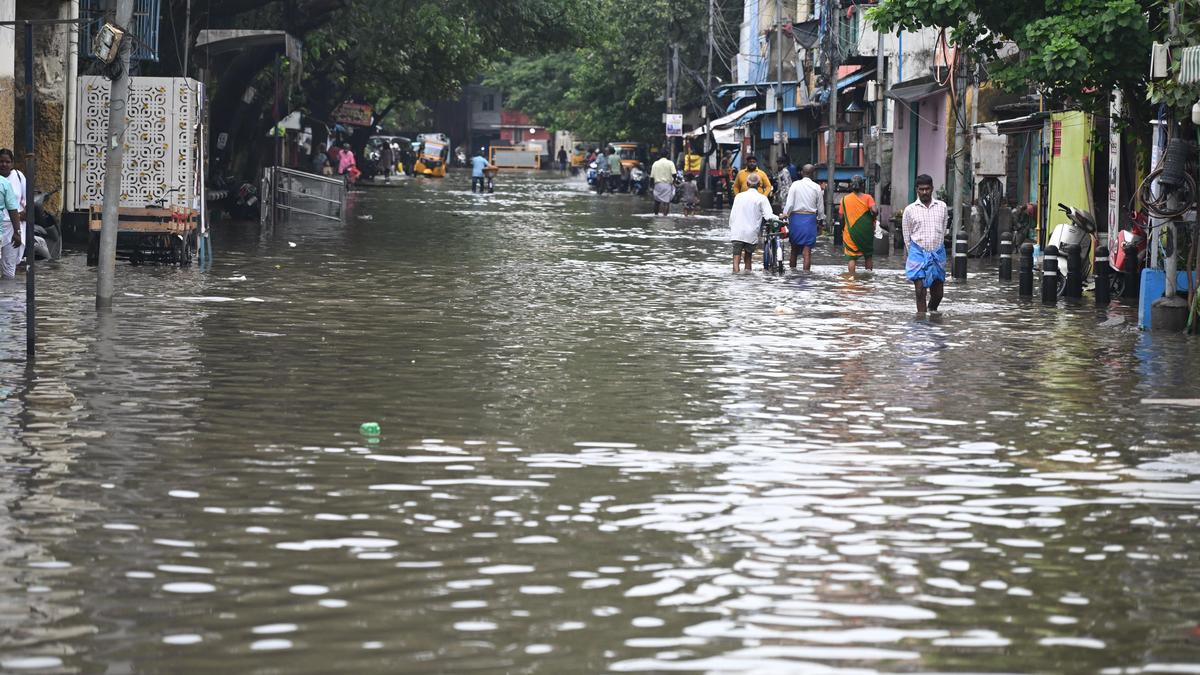
Stephenson Road in Perambur was flooded on Sunday as heavy rain lashed several areas of Chennai on Saturday night. | Photo Credit: B. JOTHI RAMALINGAM As concerns over a potentially strong El Niño and intense rainfall this Northeast monsoon grow, residents and climate groups have called for better access to Chennai’s flood risk maps and disaster-response information to help vulnerable communities prepare for flooding.The Greater Chennai Corporation (GCC) on October 17 uploaded the 800-page City Disaster Management Perspective Plan 2026. GCC Commissioner G.S. Sameeran said the number of identified waterlogging hotspots had declined from around 700 in 2021 to 291 at present. The locations have been classified according to their vulnerability levels, and an action plan has been drawn up, he said.The Corporation has identified 215 relief centres across the city and 111 central kitchens to provide food during emergencies, he added.The City Disaster Management Perspective Plan 2026 includes inundation-risk maps based on previous monsoons, identifying waterlogging locations and classifying them according to the depth of flooding and vulnerability. It also contains zone-wise information on water-stagnated streets, stormwater drains, water bodies and waterways, along with real-time inundation maps archived through web applications. The plan lists relief centres, their capacities and available facilities, contact numbers of officials responsible for evacuation, food, sanitation and medical assistance, as well as emergency contacts for government departments and utility services. It outlines arrangements for food distribution through common kitchens, deployment of motor pumps and heavy machinery, and coordination through the GCC Control Room, which serves as the city’s Emergency Operations Centre.Dinesh V., a resident of Vyasarpadi, said the plans did not adequately capture all flood-prone areas in the city. “Only when these areas are identified in the plan can appropriate measures be taken. We can also help communities prepare and ensure residents are able to stay safe during floods,” he said.Prasanth J. of CCAG, who helps flood-affected residents access essential resources, said people in areas such as Pulianthope, Ramapuram and Vyasarpadi were often unaware of even the 108 ambulance service. “Most of them do not use smartphones and cannot access the document. The Corporation should take this information to the public through posters in public places and other accessible means,” he said.Vanessa Peter, founder of the Information and Resource Centre for Deprived Urban Communities (IRCUDC), said homeless people, including many elderly persons, are often overlooked in disaster preparedness. Identifying low-lying areas as vulnerable is not enough, as some communities live in settlements that face perennial flooding. Vulnerable communities must be involved in preparing the plan, and their specific needs must be documented, she said. Even if information on relief centres is available on the Corporation’s website, authorities must ensure that residents know where these centres are and how to access them, she added. Published - October 18, 2026 08:00 am IST
Chennai residents seek better access to flood-risk information
Full Article
Original Source
Read the full article at Thehindu →KhanList aggregates and links to publicly available news content. We do not host full articles from third-party sources. Always verify important information with original sources.