
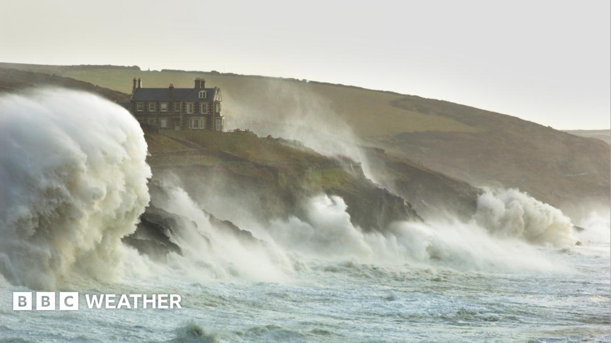
Chance of storms this week as Atlantic jet stream roars into lifeImage source, Getty ImagesByMatt TaylorLead Weather PresenterThe UK may see its first named storm of the autumn as forecasts show the potential for a deep area of low pressure to cross the UK later this week.A strengthening jet stream triggered by temperature contrasts across North America will cause turbulent conditions to develop.All areas will experience rain at times, including those currently in drought, but amounts of rain will depend on the exact track of a stormy low pressure system later in the week.After a chilly weekend, temperatures will generally remain slightly below average for mid-October.Quiet and warm autumn so farAutumn has been relatively calm in many areas with little in the way of disruptive weather and rainfall has remained deficient across a huge swathe of England and Wales. Parts of Herefordshire have seen only a tenth of the rainfall typically expected by this stage of October, and the dry conditions persist for much of England. The Environment Agency recently declared severe drought for parts of southern England. This month continues the warming trend we have seen so far this year, with mean temperatures - which is an average of maximum and minimum temperature - between 1 and 3 Celsius above normal for October.Over the weekend, all four nations saw their lowest temperature of autumn so far. Parts of Scotland and Northern Ireland dropped to minus 4 Celsius on Sunday morning with minus 2 Celsius recorded in northern England while Wales registered its first air frost of the season.Image source, BBC WeatherWatchers/NellingtonImage caption, Frost on the ground in central Scotland as the UK experienced the lowest temperatures of the autumn so far over the weekendStrong jet stream to bring turbulent weatherAfter a frosty start in Scotland and Northern Ireland on Monday it will turn more cloudy. Overnight rain in England and Wales will largely die out and skies will brighten.It should be a slightly milder to start the week.Expect cloudy skies on Tuesday with rain developing again in England, Wales and Scotland. Northern Ireland may be dry with some sunshine, before another band of rain arrives from the Atlantic by the end of the day.Bands of rain will move across the UK on Wednesday before the weather takes a turn for the worst in some areas at the end of the week.Image caption, Current forecasts suggest a deep low pressure system will pass the south of the UK on Friday with the strongest winds limited to southern areasWeather models suggest there is the potential for the jet stream to guide a deep area of low pressure across the UK by Friday.In addition to heavy rain, gales or even severe gales will be wrapped around the deep low.At the moment most computer models take the centre of the low pressure system across the south of the UK. The highest risk of disruptive winds would be over southernmost parts of England and Wales and possibly some eastern coastal counties of England later on Friday. Such a track would leave Scotland and parts of Northern Ireland with quieter weather conditions. However, some computer models show the deep low taking a more northerly track. If this happens, then gales and disruption could be expected more widely with impacts also in Scotland and Northern Ireland.The uncertainty of the track means the forecast could change and it is important to keep across any potential Met Office weather warnings.Image source, Getty ImagesImage caption, Amber weather warnings were issued as Storm Ashley hit October 2024Will the UK see the first named storm of the season?The UK storm season runs from September until August and it is not unusual to reach this stage of autumn without any named storms.If the UK Met Office or Ireland's Met Éireann expect this week's low pressure system to bring significant impacts, that would lead them to issue weather warnings at an amber level or higher . If the storm is then named, it will be called 'Storm Austen'.It is possible that the low pressure system could follow an even more southerly track, meaning greater impacts in France and less across the UK, and the French weather service MeteoFrance could name it 'Storm Bruna'. Developments at the end of the week will also dictate potential weather conditions into the following week, with some computer models showing further stormy weather at times, while others suggest quieter conditions under a developing high pressure system.More on this story
Chance of storms this week as Atlantic jet stream roars into life
Full Article
Original Source
Read the full article at Bbc →KhanList aggregates and links to publicly available news content. We do not host full articles from third-party sources. Always verify important information with original sources.